


GREENVALLEY LiAir X3-H + Camera + LiGeoreference
Genauigkeitsbereich: ± 2cm (1σ@20m)
Gewicht: 1.25kg (einschl. Kamera)
Scanbereich: 190m @ 10% Reflexionsgrad 450m @ 80% Reflexionsgrad
Übersicht
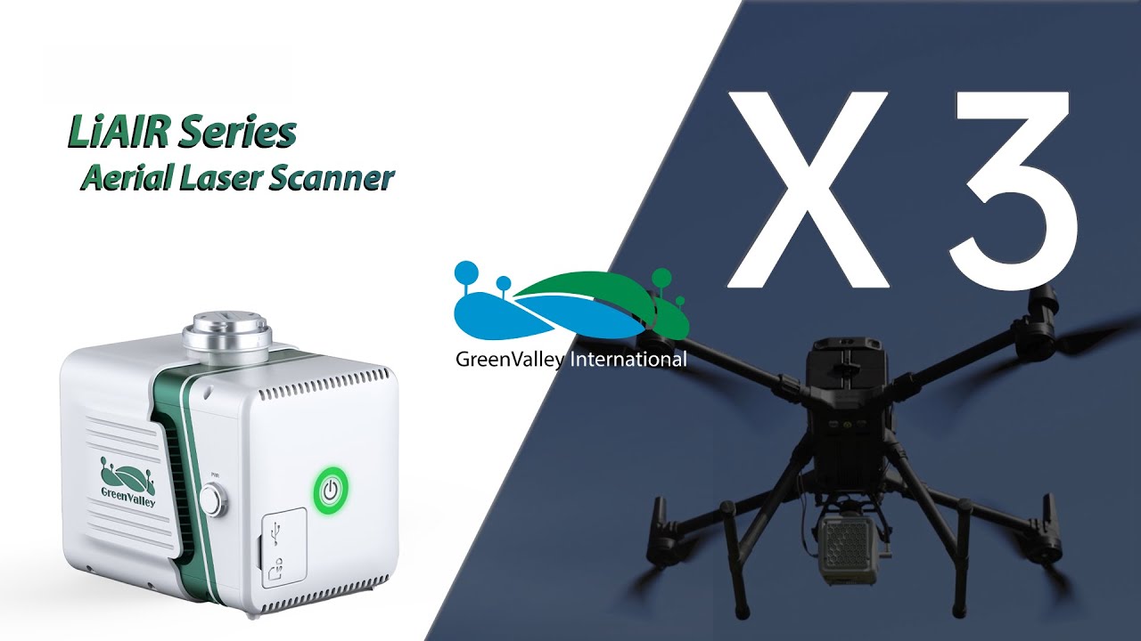
Der LiAir X3-H ist das neueste kompakte und leistungsstarke Gerät der LiAir-Serie von GreenValley International. Es verfügt über ein neues integriertes Design und integriert leichtes LiDAR, selbst entwickelte Trägheitsnavigation, eine hochauflösende Mapping-Kamera und Bordcomputersysteme, die ein neues Maß an Effizienz bieten.
Leicht und kompakt - einfach zu bedienen
Integriertes, einfaches und dennoch robustes Design, das mit der Schutzart IP64 Schutz vor den Elementen bietet. Die unkomplizierte Benutzeroberfläche ermöglicht eine Bedienung auf Knopfdruck für maximale Effizienz.
Neue eingebaute Kamera - für ultraklare Bildqualität
Die eingebaute neue hochauflösende Custom-Mapping-Kamera bietet eine von 24 auf 26 Megapixel gesteigerte Bildauflösung, die sowohl hochwertige Echtfarben-Punktwolken als auch Orthofotos für die Photogrammetrie ermöglicht.
LiPlan Flight Assistance Software - für eine einfache Feldarbeit
LiPlan unterstützt die Anzeige von Punktwolken in Echtzeit, die Anpassung von Parametern und die Statusüberwachung. Sie kann direkt auf der M300 RTK-Fernsteuerung installiert und in Verbindung mit dem X3 verwendet werden, um den Bedienern die Kontrolle der Standortbedingungen in Echtzeit zu erleichtern.
| Absolute Genauigkeit: | < 50mm, < 100mm |
|---|---|
| Anwendung: | BIM, Dokumentation, Forschung & Entwicklung, Inspektion, Vermessung |
| Branche: | Bauwirtschaft, Behörde, Bergbau, Energienetzbetreiber, Fernversorgung, Forstwirtschaft, Immobilien, Industrielle Großanlagen, Militär, Polizei, Stadtwerke, Universitäten, Windkraftanlagen, Öl- und Gas |
| Produkttyp: | Sensor |
| Relative Genauigkeit / Auflösung: | < 20mm, < 50 mm |
| Sensortyp: | LiDAR |
| Vermessungsaufgaben: | 3D-Geländemodell, Anlagenvermessung, Bauüberwachung, DEM / DSM, Deformationsalanyse, Gebäudebestandsaufnahme, Grundlagenvermessung, Höhenlinienmodell, Ingenieurvermessung, Lagepläne & Plangrundlagen, Leitungsdokumentation, Rohrbrückendokumentation, Stahlbauvermessung, Topografischer Bestandsplan, Volumenberechnung, Werksflächenbestandserfassung |

1x LiAir X3 LiDAR system
1x GNSS antenna assembly kit
1x 256GB TF card
1x USB flash drive
1x Product documentation
1x USB cord
2x GNSS antenna
1x Card reader
1x Assembly tool
Anmelden
Zubehör


Schulung
_Bild 1_EPOTRONIC")
_Bild 2_EPOTRONIC")


