

For many years, there has only been one name when it comes to drones. Founded in 2006, DJI has produced some of the most innovative, powerful, safe and easy-to-flight UAVs in the world.
About DJI
DJI products make it possible to take pictures that were previously almost impossible. Flying and stabilized cameras completely redefine photography in motion. Breath-taking photos and videos, immortalized personal memories and professional recordings are captured by our products every day, all over the world.
This technology not only gives people incredible new opportunities, it empowers each and every human being to break through the limits of what is possible so that they can inspire the world.
This is achieved through an unparalleled commitment to research and development, a culture of constant innovation and curiosity and the task of making even the most complex technology easy to use. Building on the "Form Follows Function" ethos, DJI's products combine the most advanced technology with dynamic designs.
With its headquarters in Shenzhen, China's Silicon Valley, DJI benefits from direct access to suppliers, raw materials and young, creative talents for a lasting model of success. With these favourable conditions, DJI was able to grow from a small office in 2006 to a global company with more than 14,000 employees. DJI now has offices in the United States, Germany, the Netherlands, Japan, Beijing and Hong Kong. As a private company, DJI focuses entirely on its own vision and supports creative, commercial and non-profit applications of our technology.
Today the products are already redefining entire industries. Professionals in the film industry, agriculture, nature conservation, search and rescue services and infrastructure trust DJI to give you new perspectives in your work. For faster, safer and more efficient working methods than has ever been possible before.

Strengthen your team
Reduce risks
Digitise work
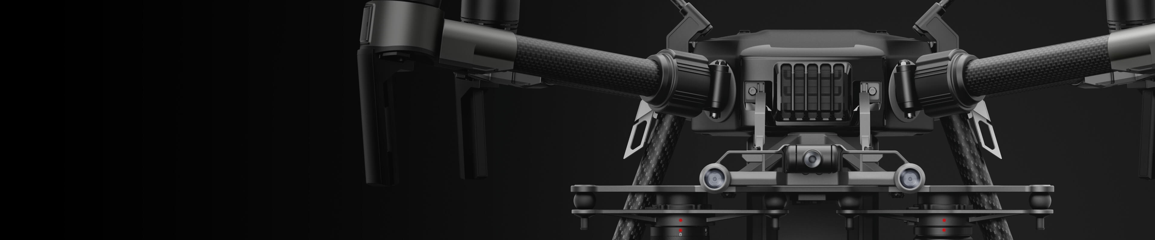
Flying robots
- Matrice 300 RTK - inspection, survey, surveillance.
- Phantom 4 RTK - Survey, partial inspection
- Mavic 2 Enterprise Advanced - inspection, surveillance
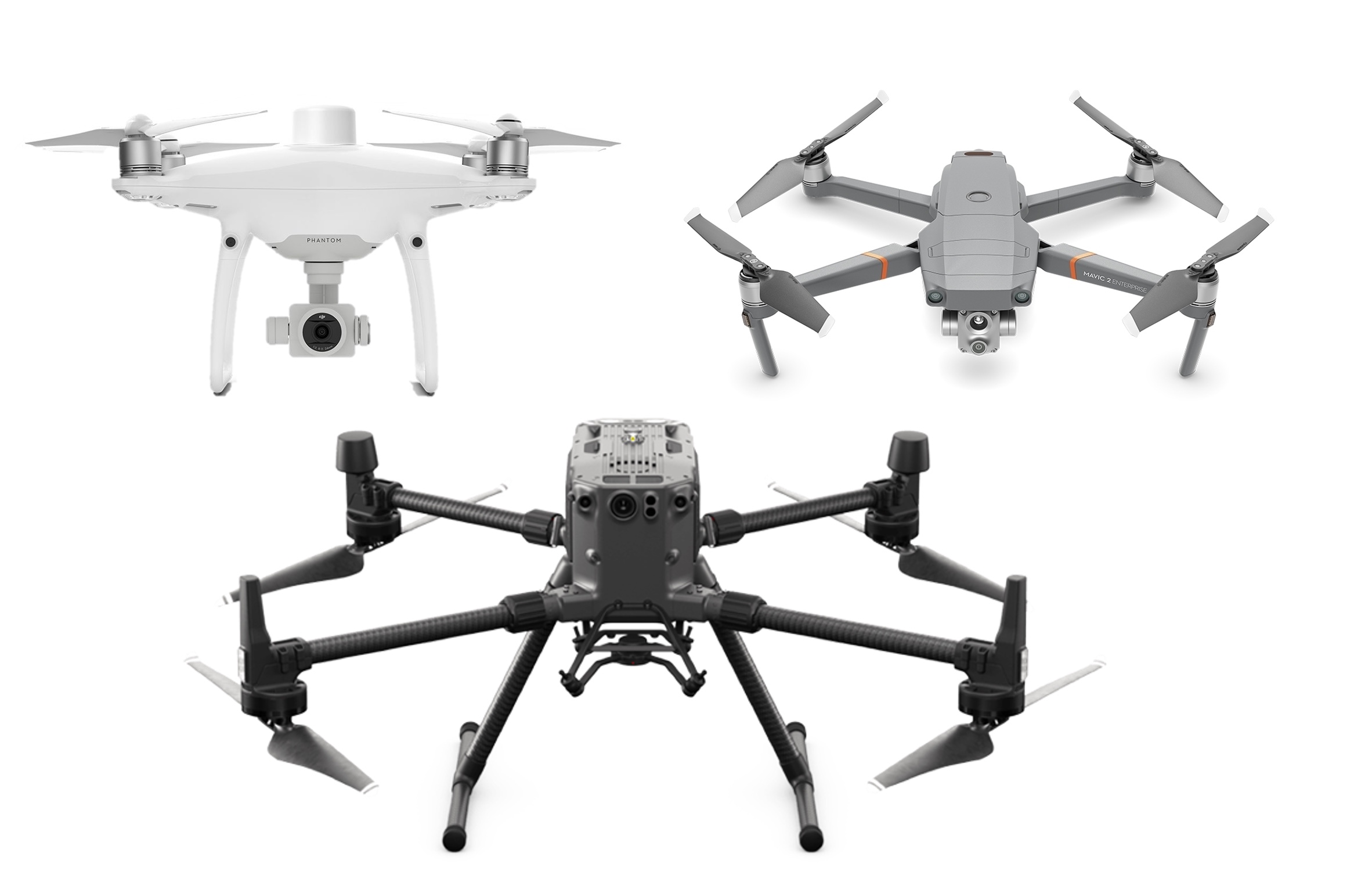
Matrice 300 RTK
- 30 -40 minutes effective flight time (max. 55 minutes without payload)
- 6.3kg TOM + 2.7kg payload = 9kg MTOM
- 15m/s wind resistance, IP45
- -20° C to 50° C Operating temperature
Phantom 4 RTK
- Integrated RTK module and 2x GNSS antenna
- Time synchronised image acquisition with GPS position
- Storage of satellite data for PPK analysis
- 30 minutes flight time and 20 MP 1″ CMOS
Mavic 2 Enterprise Advanced
- 640×512 px thermal camera
- 48 MP RGB camera
- 32x digital zoom
- Centimetre-precise positioning with RTK
Zenmuse L1
- High efficiency 2 square km covered in just one flight.
- Vertical accuracy: 5 cm / Horizontal accuracy: 10 cm
- Point rate: 240,000 pts/s
- Supports 3 return signals
- IP45 protection class
Zenmuse P1
- Accuracy without GCPs 3 cm horizontal/5 cm vertical.
- High efficiency 3 square km covered in just one flight.
- 45 MP full-frame sensor
- Gimbal stabilised on three axes
- Intelligent oblique shot
Zenmuse H20T
- 12 megapixel wide-angle camera
- 20 megapixel zoom camera
- Radiometric thermal imaging camera
- Laser rangefinder
- IP44 protection rating
Industries
DJI drones can save time and money and improve safety in many industries.

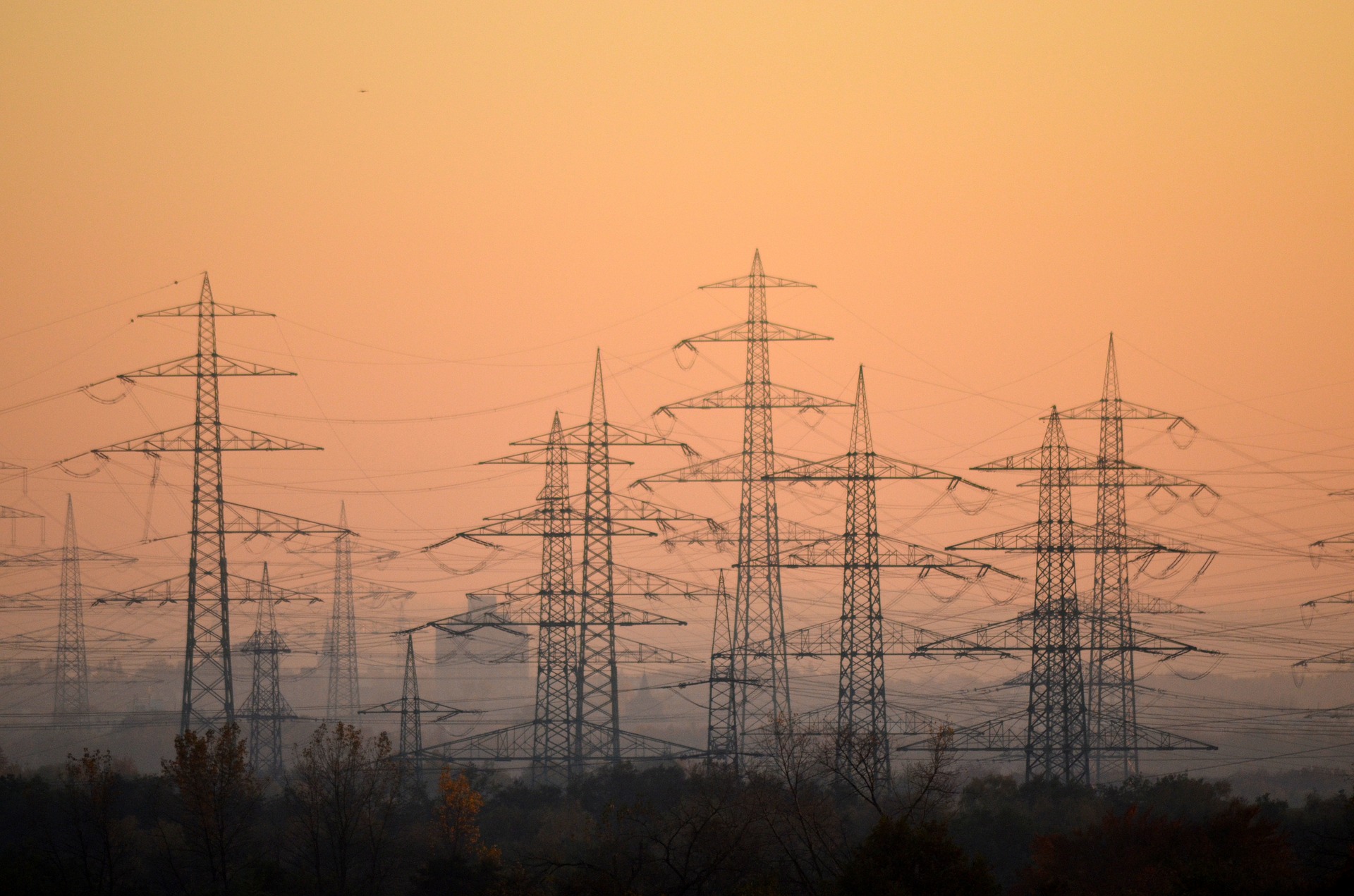
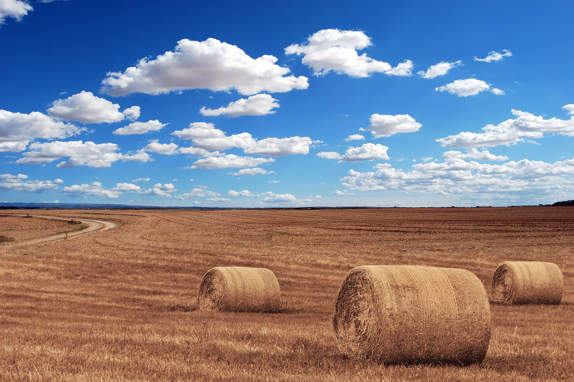
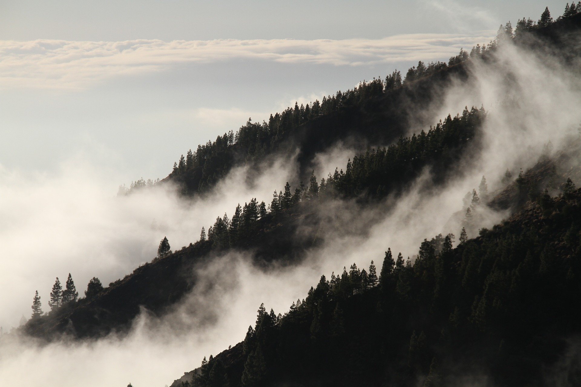
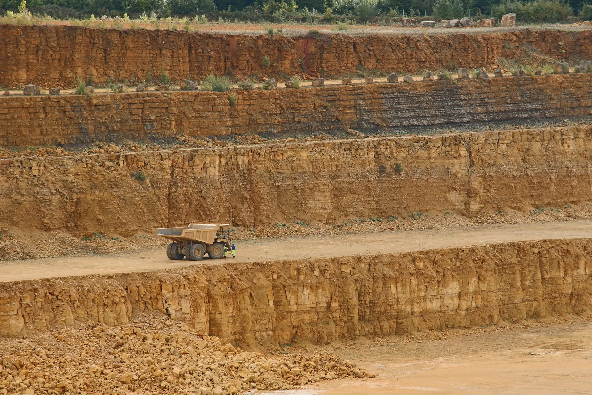


 image 1_EPOTRONIC")
 image 2_EPOTRONIC")


 image 1_EPOTRONIC")
 image 2_EPOTRONIC")


 image 1_EPOTRONIC")
 image 2_EPOTRONIC")


 image 1_EPOTRONIC")
 image 2_EPOTRONIC")


 image 1_EPOTRONIC")
 image 2_EPOTRONIC")


 image 1_EPOTRONIC")
 image 2_EPOTRONIC")


 image 1_EPOTRONIC")
 image 2_EPOTRONIC")


 image 1_EPOTRONIC")
 image 2_EPOTRONIC")


 image 1_EPOTRONIC")
 image 2_EPOTRONIC")


