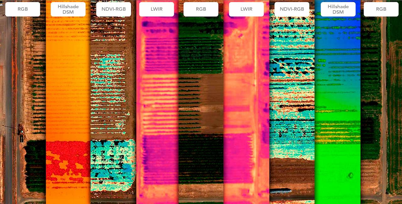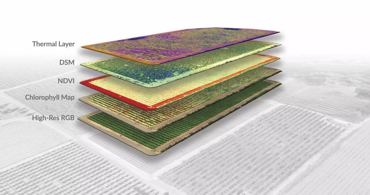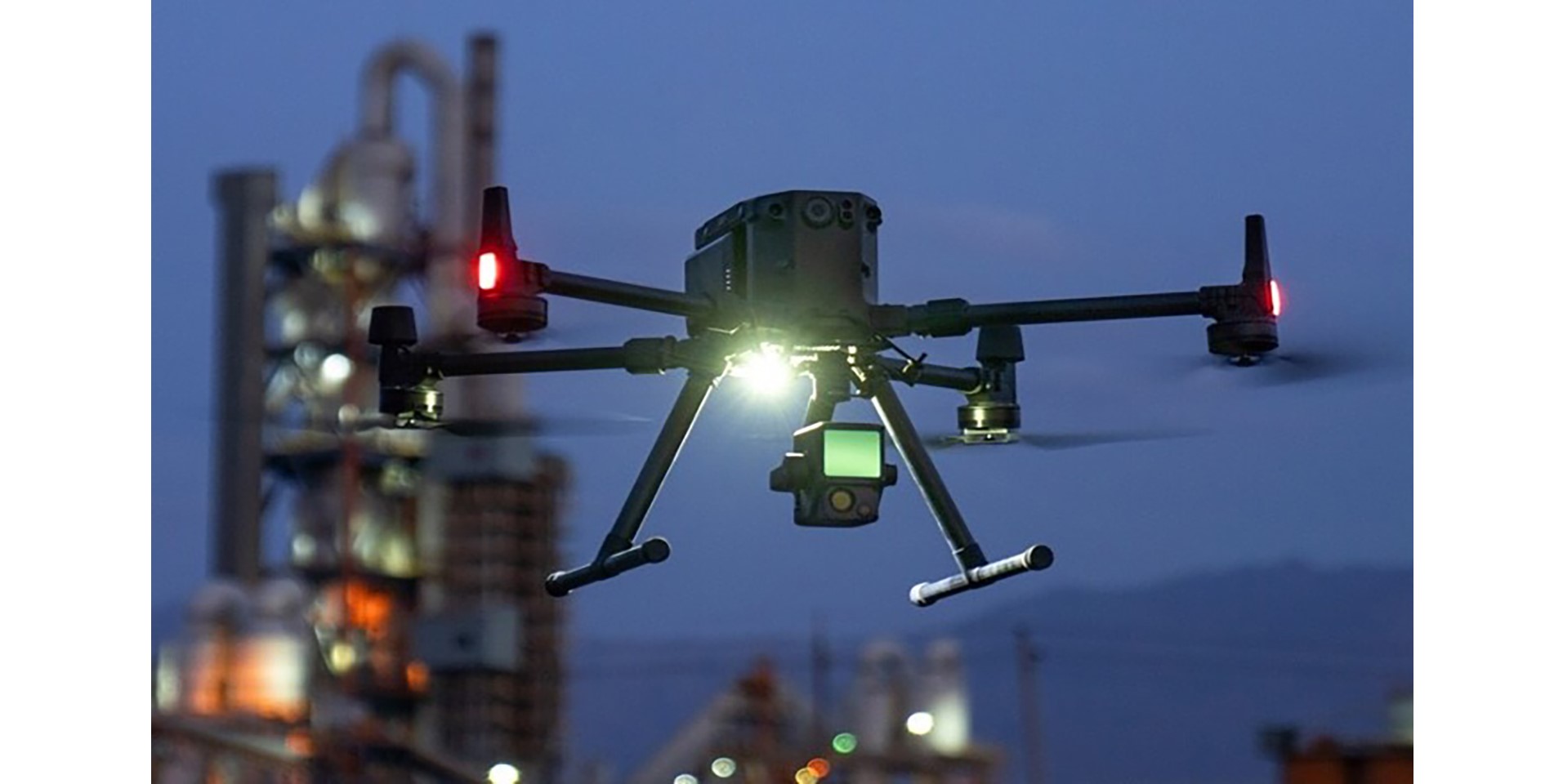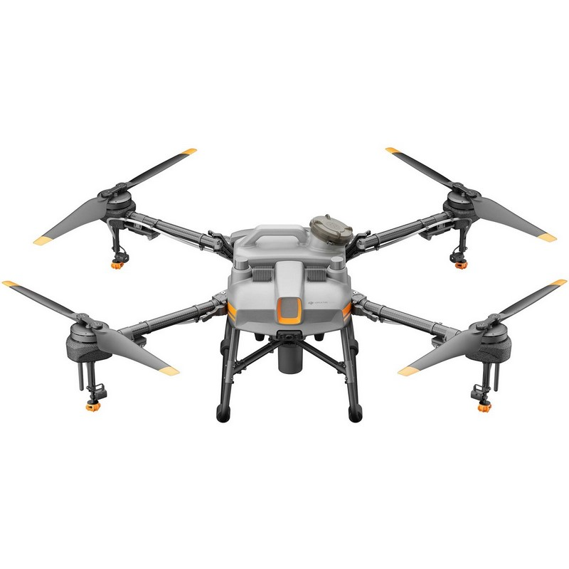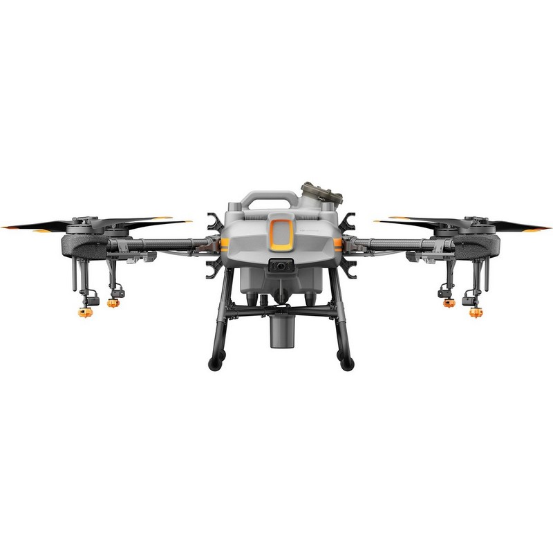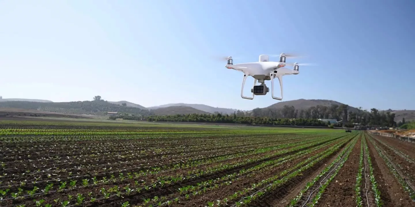
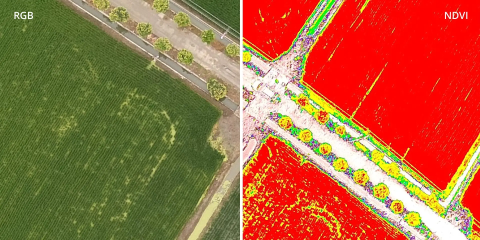
Using high-precision data to inform your agricultural practices!
- Early detection, quantification and management of stresses such as water, diseases, nutrition deficiencies, and pests.
- Improve the effective application of fertilisers, irrigation, and weed control measures
- Inform decision-making to sow, thin, and harvest crops at the optimum time.
- Yield prediction
- Biomass estimation
- Vegetation classification
- Canopy cover estimation
- Plant height assessment
- Examine the productivity of crops under different growing conditions and treatments
- Terrain modelling
Solutions
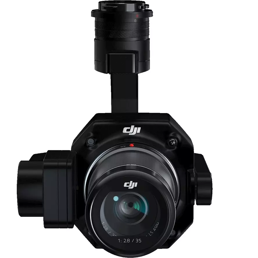
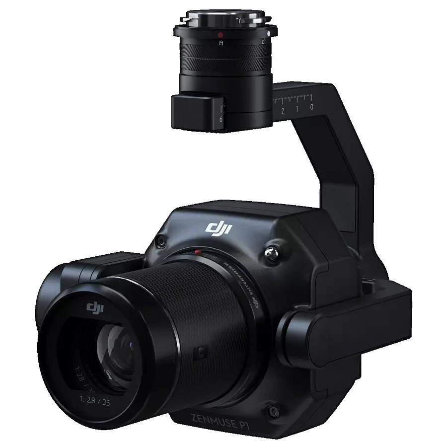
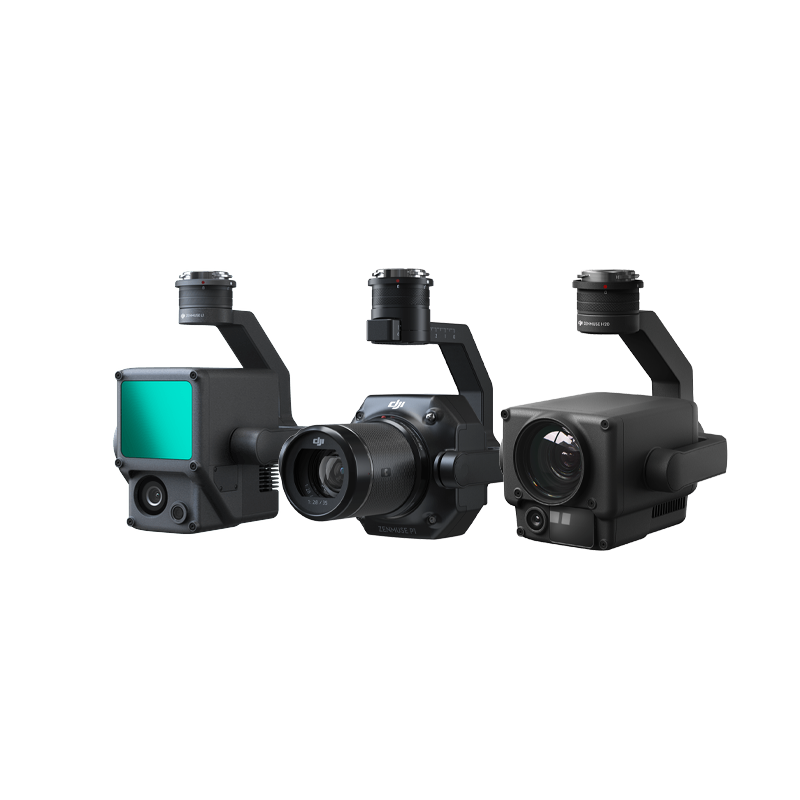
There are three main types of drone sensors capable of achieving high precision data for agriculture:
RGB
Multispectral
- Chlorophyll content
- Nitrogen content
- Normalized Difference Vegetation Index (NDVI)
- Optimized Soil Adjusted Vegetation Index (OSAVI)
- Colour Infrared (CIR)
LiDAR
The new Micasense Altum is available!
ALTUM-PT
.
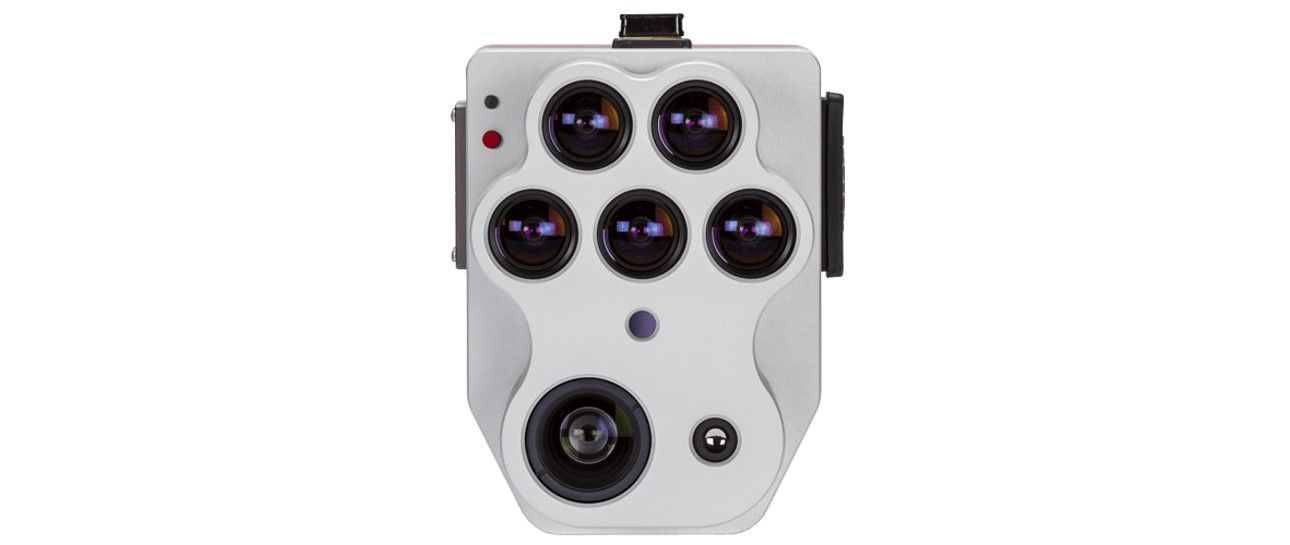
THE DOUBLE SPATIAL RESOLUTION OF THE PREVIOUS ALTUM
Altum-PT is equipped with an ultra-high resolution panchromatic sensor that enables "pan-sharpening" of the multispectral images, increasing the spatial resolution of the multispectral data: 1.2 cm pan-sharpened ground resolution at a 60 m flight altitude.
IMPROVED THERMAL SENSOR
Altum-PT features a built-in 320 x 256 FLIR Boson® that enables thermal maps with twice the ground resolution of Altum - 17 cm from 60 m flying altitude.
REINFORCED BEARING
CFexpress is a new professional standard for removable storage that allows more than two shots per second, instant switching time between flights by swapping cards, and super-fast upload speeds between card and computer for more efficient data management.
SYNCHRONIZED THERMAL AND MULTISPECTRAL IMAGING DATA
The MicaSense Altum-PT acquires synchronized multispectral, thermal, and panchromatic data for pixel-precise output with incredibly high resolution. Acquisition of these bands occurs simultaneously, eliminating the need for data alignment in post-processing.

