


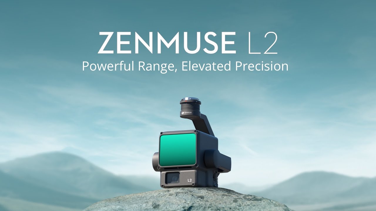
The Zenmuse L2 features an advanced LiDAR module, the Livox AVIA, a high-precision IMU system developed by DJI and a 4/3 CMOS RGB mapping camera. The DJI Matrice 350RTK allows you to capture even more precise, efficient and reliable geospatial data. In conjunction with DJI Terra, the L2 also becomes an instant solution for 3D data collection and high-precision post-processing.
Technical data
Vertical precision: 4 cm
Horizontal precision: 5 cm [1]
RMS value 1sigma = 2 cm at 150 m @ 25 °C
IMU refresh frequency 200Hz
Extremely precise with Epotronic training and software
Vertical precision: 2 cm
Horizontal precision: 3 cm[1]
Dot density
Single return: up to 240,000 points/s
Multiple rewind: up to 1,200,000 points/s
Extraordinary efficiency
2.5 km2 in a single flight [2]
Superior penetration
Smaller laser dots, denser point clouds
Increase detection range [3] by 30% [5]
250 m with 10% remission, 100 klx
450 m with 50% remission, 0 klx
Features
5 returns
Ready for immediate use [4]
Live view of the point cloud
One-click processing in DJI Terra
RGB camera with 4/3 CMOS, effective pixels: 20 MP, mechanical shutter
Yaw accuracy [6] Real time: 0.2°, post-processing: 0.05°
Pitch/roll accuracy [6] Real time 0.05°, post processing 0.025°
After operation, the 3D point cloud model [7] can be directly displayed in the album. 3D point cloud models from multiple flights can also be merged to make on-site operational quality decisions.
After collecting the point cloud data, the DJI Pilot 2 app automatically generates a quality report [8] on the job so that users can review the operational results in real time and on site, making field operations more spontaneous and worry-free.
In complex deployment environments, users can set up RTK base stations before operation to avoid loss of RTK data due to interference, video transmission interruptions or other problems. Once operational, the original files can be imported into DJI Terra to use the PPK (Post Processed Kinematics) process to reconstruct high-precision models.
Efficient and reliable one-step post-processing after importing point cloud data into DJI Terra: Generate a 3D point cloud model in standard format with one click - after calculating the point cloud trajectory and optimizing for accuracy. To classify the survey point, a DEM can also be created using the “Ground Point Type”. The quality of the point cloud can be analyzed using the “Accuracy Control and Testing” function.
1. Measured under the following conditions in a DJI laboratory environment: Zenmuse L2 mounted on Matrice 350 RTK and powered on. Planning the flight route using DJI Pilot 2's Area Route (with IMU calibration enabled). Repeated scanning with RTK in FIX status. The relative altitude was set at 150 m, the flight speed at 15 m/s, the gimbal tilt at -90°, and each straight-line flight segment of the route was less than 1500 m. The area contained objects with obvious angular features and used exposed control points on hard ground, which corresponded to the diffuse reflection model. DJI Terra was used for post-processing with precision point cloud optimization enabled. Under the same conditions, if point cloud precision optimization is not enabled, the vertical accuracy is 4 cm and the horizontal accuracy is 8 cm.
2. Measured with Zenmuse L2 mounted on Matrice 350 RTK at 15 m/s airspeed, 150 m altitude, 20% lateral overlap rate, IMU calibration enabled, altitude optimization disabled and terrain tracking disabled.
3. The data shown are typical values. Measured with a flat subject larger than the laser beam diameter, a vertical angle of incidence and an atmosphere visibility of 23 km. In low light environments, the laser beams can achieve the optimal detection range. If a laser beam hits more than one subject, the total laser transmission power is shared and the reachable area is reduced. The maximum detection range is up to 500 m.
4. No warm-up is required after turning on the IMU. However, users must wait until the drone RTK is in “FIX” status before flight operations are possible.
5. Calculated by comparing with Zenmuse L1.
6. Measured under the following conditions in a DJI laboratory environment: Zenmuse L2 mounted on a Matrice 350 RTK and powered on. Planning the flight route using DJI Pilot 2's Area Route (with IMU calibration enabled). RTK in FIX status. The relative altitude was set at 150 m, the flight speed at 15 m/s, the gimbal tilt at -90°, and any straight-line flight
| Absolute Genauigkeit: | < 50mm, < 100mm |
|---|---|
| Anwendung: | BIM, Building insulation, Documentation, Inspection, Monitoring, Research & Development, Surveying, Transport, Virtual tours / 360° |
| Branche: | Agriculture, Authority, Construction industry, Energy grid operator, Fire brigade, Forestry, Large industrial plants, Long-distance supply, Military, Mining, Oil and gas, Police, Public utilities, Real estate, Solar systems, Universities, Wind turbines |
| Produkttyp: | Sensor |
| Relative Genauigkeit / Auflösung: | < 20mm, < 50 mm |
| Sensortyp: | LiDAR |
| UAV-Gewicht: | MTOM 4kg-25kg |
| Vermessungsaufgaben: | 3D terrain model, Basic measurement, Building inventory, Construction supervision, Contour line model, DEM / DSM, Deformation lysis, Engineering surveying, Line documentation, Orthophotos, Pipe bridge documentation, Plant and building documentation , Plant area inventory, Plant measurement, Site plans & plan bases, Steel construction measurement, Topographical as-built plan, Volume calculation |

1x DJI Zenmuse L2
1x 12 months DJI Care Basic
1x DJI Terra starter calculation program (you need DJI Terra Pro to optimize and colorize the point cloud)
1x hard case
1x SD card 128GB
1x lens protector
1x cleaning cloth
Login