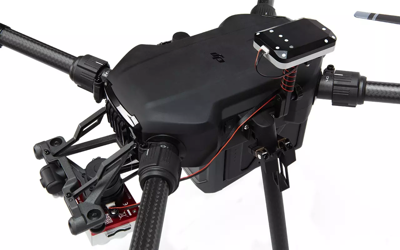
MicaSense
MicaSense strive to help growers, land managers and researchers use drone-based imagery to make informed decisions. They are experts at developing drone sensors for vegetation mapping.
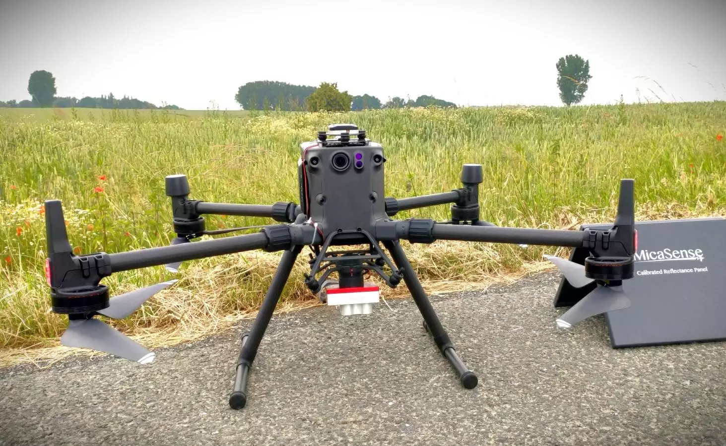

RedEdge Range - The new RedEdge-P
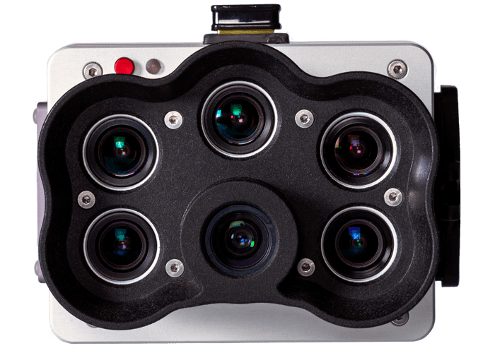
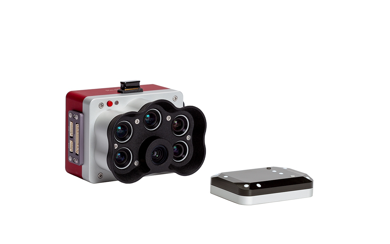
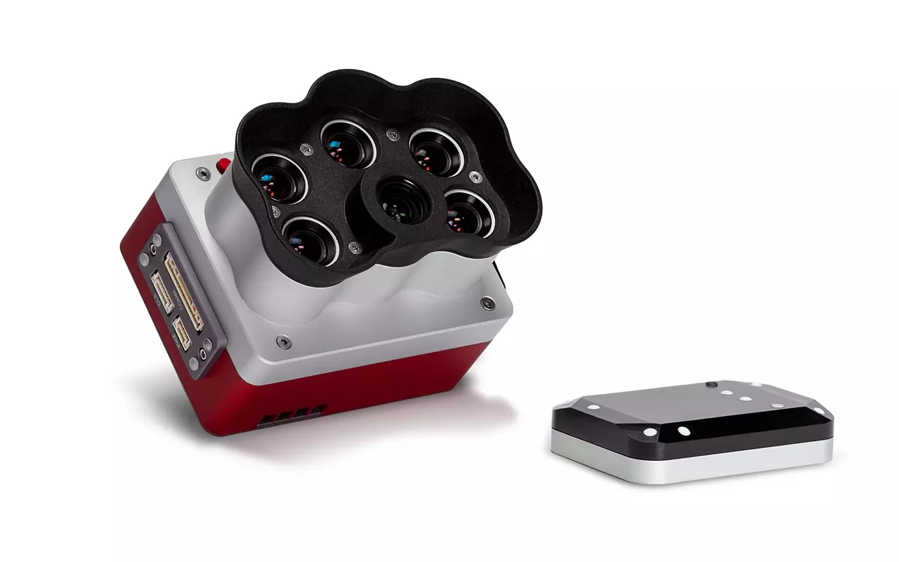
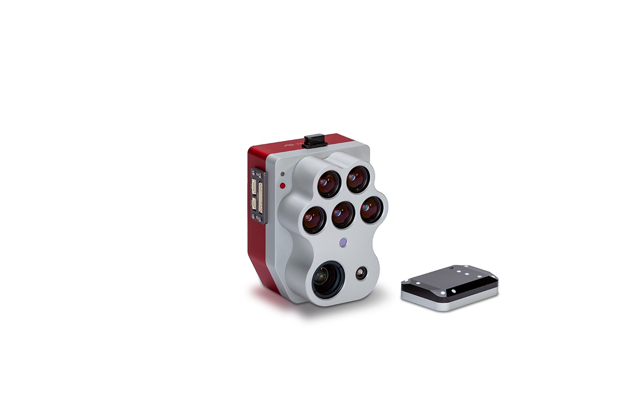
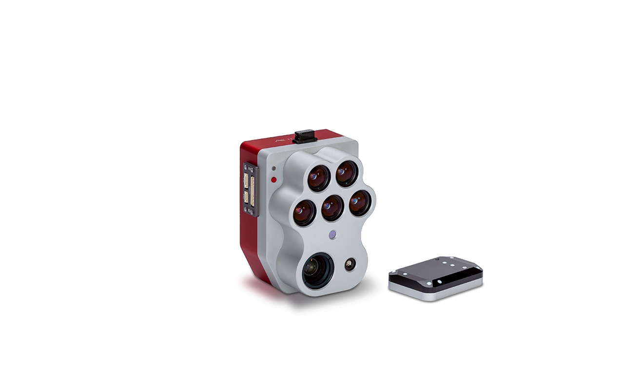
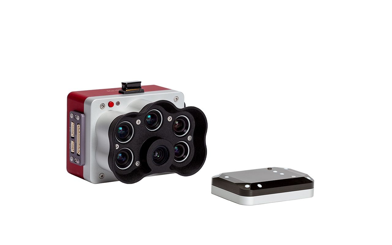
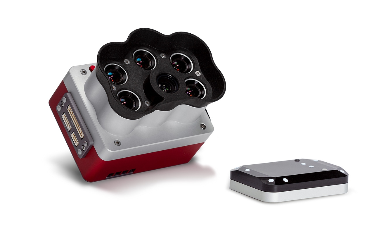
MicaSense's RedEdge suite of products has evolved throughout the years to offer the best technology on the market so customers can tackle the most challenging projects. In order to continue meeting customer's needs and maximize their resources, MicaSense have decided to begin the End-of-Life (EOL) process for all RedEdge-MX kits – including RedEdge-MX blue standalone.
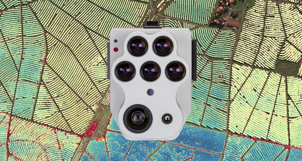
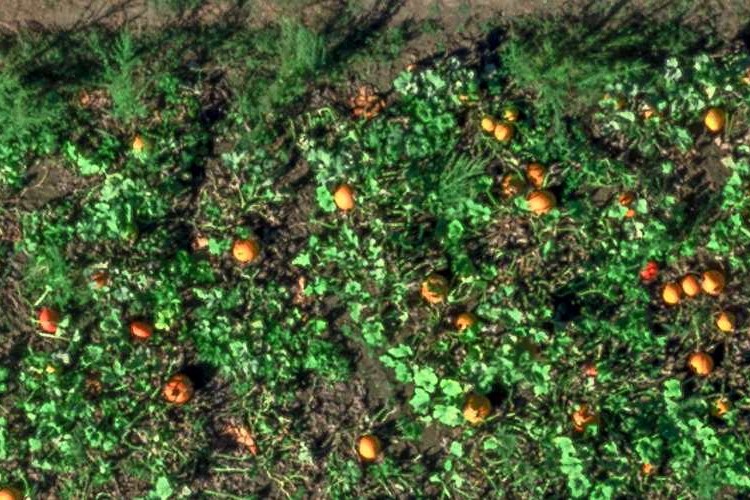
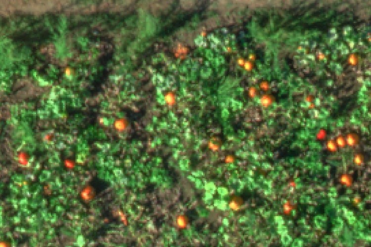
RedEdge-MX will be fully replaced by RedEdge-P, MicaSense's latest iteration of the RedEdge family of products which offers the multispectral technology customers have come to trust, paired with a Panchromatic lens for pan-sharpened outputs at higher resolutions, virtually removing the need for an RGB camera for applications like plant counting.
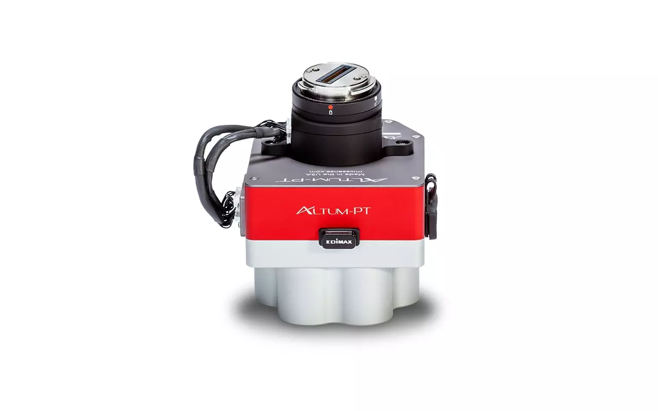
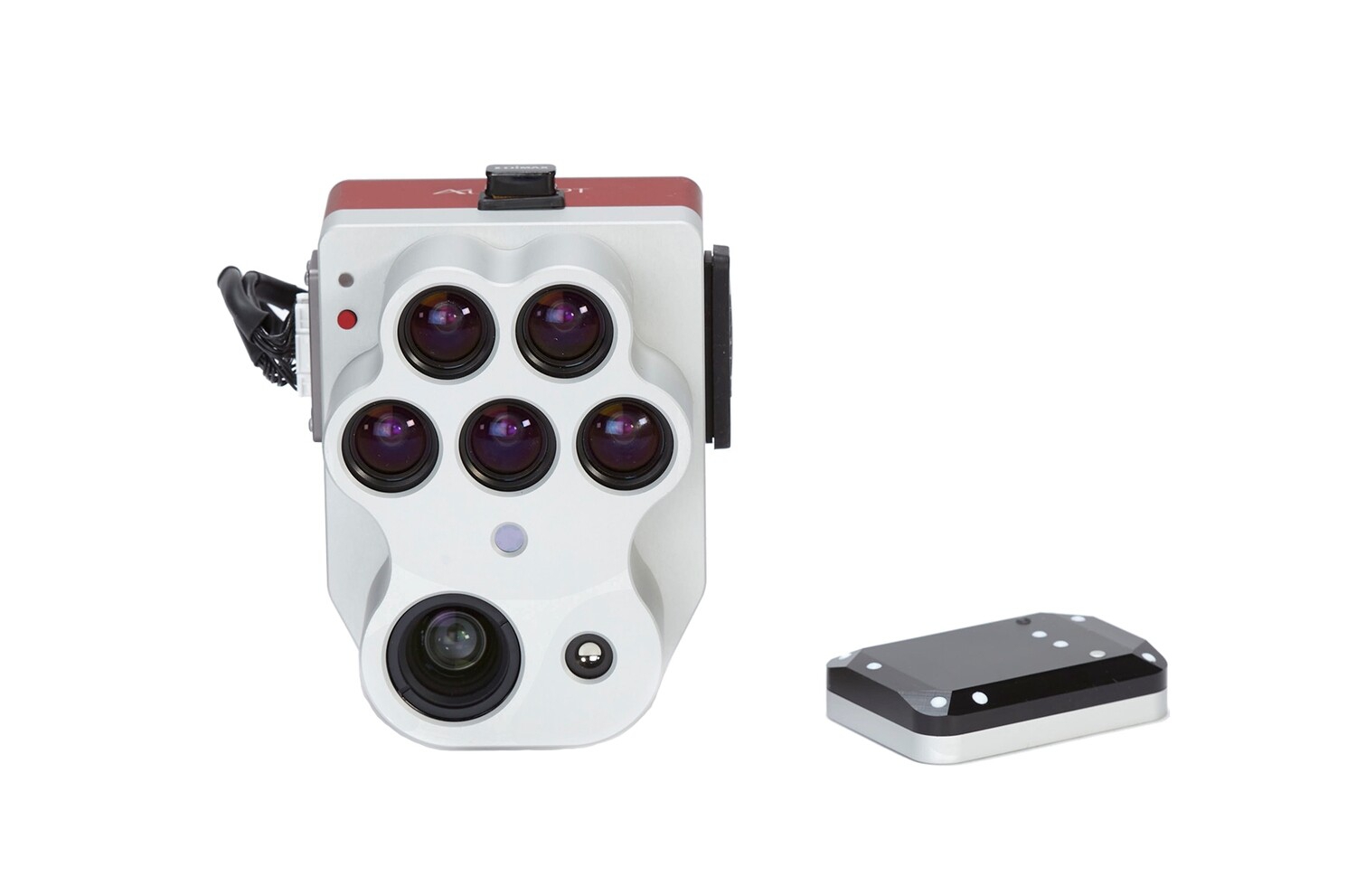
Altum PT
