


Range Accuracy: ± 2cm (1σ@20m)
Weight: 1.25kg (Incl.Camera)
Scan Range: 190m @ 10% reflectance 450m @ 80% reflectance
Overview
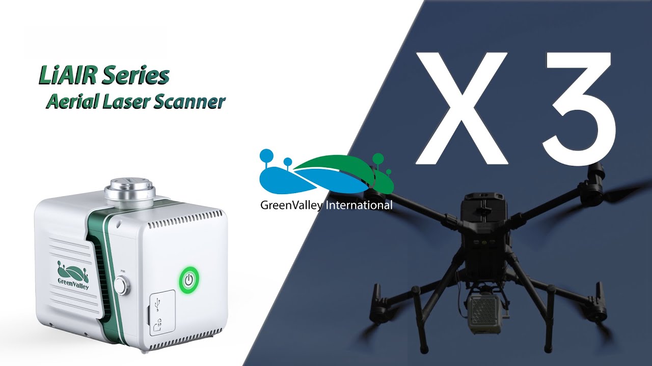
LiAir X3-H is the newest compact, high-performance unit in the LiAir series by GreenValley International. It adopts a new integrated design style and integrates lightweight LiDAR, self-developed inertial navigation, a high-resolution mapping camera, and onboard computer systems providing new levels of efficiency.
Lightweight & Compact - easy-to-use
Integrated simple yet rugged design, allowing for protection against the elements with an IP54 rating. The operation interface is straightforward, allowing one-touch operation for maximum efficiency.
New Built-in Camera - providing ultra-clear picture quality
Built-in new high-resolution custom mapping camera, the image resolution is upgraded from 24 Megapixels to 26 Megapixels, allowing for high-quality true-color point clouds as well as orthophotos for photogrammetry.
| Absolute Genauigkeit: | < 50mm, < 100mm |
|---|---|
| Anwendung: | BIM, Documentation, Inspection, Research & Development, Surveying |
| Branche: | Authority, Construction industry, Energy grid operator, Forestry, Large industrial plants, Long-distance supply, Military, Mining, Oil and gas, Police, Public utilities, Real estate, Universities, Wind turbines |
| Produkttyp: | Sensor |
| Relative Genauigkeit / Auflösung: | < 20mm, < 50 mm |
| Sensortyp: | LiDAR |
| Vermessungsaufgaben: | 3D terrain model, Basic measurement, Building inventory, Construction supervision, Contour line model, DEM / DSM, Deformation lysis, Engineering surveying, Line documentation, Pipe bridge documentation, Plant area inventory, Plant measurement, Site plans & plan bases, Steel construction measurement, Topographical as-built plan, Volume calculation |

1x LiAir X3 LiDAR system
1x GNSS antenna assembly kit
1x 256GB TF card
1x USB flash drive
1x Product documentation
1x USB cord
2x GNSS antenna
1x Card reader
1x Assembly tool
Login
Zubehör


Schulung
 image 1_EPOTRONIC")
 image 2_EPOTRONIC")


