


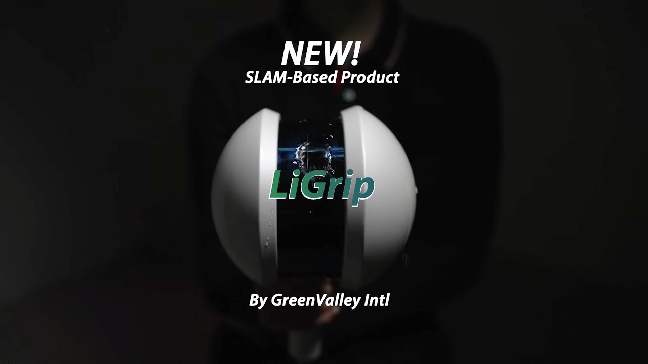
GREENVALLEY LiGrip H300 +LiFuser
Rotating Handheld SLAM LiDAR System
Key Features
300-Meter Scanning Range
640,000 pts/s
Boasting a cutting-edge XT32M laser, the LiGrip H300 achieves a maximum range of 300 meters, and the scanning
rate can reach 640,000 pts/s.
300-Meter Scanning Range
640,000 pts/s
Versatile Mapping Methods
Choose from SLAM, RTK-SLAM, and PPK-SLAM for flexibility across a range of scenarios.
RTK-SLAM: Ideal for areas with CORS signal coverage, allowing you to directly obtain precise point clouds with absolute
coordinates.
PPK-SLAM: In areas without CORS signal coverage, you can choose to set up a base station or use GreenValley's
LiCloud to obtain point clouds with absolute coordinates.
SLAM: Point clouds with absolute coordinates can be obtained through the integration of GCP control points (if
point clouds without absolute coordinates are sufficient, direct data collection can be performed).
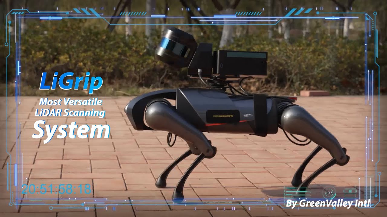
Multi-Platform Compatibility
Use the handheld, backpack, vehicle-mounted, and drone-mounted to ensure comprehensive coverage and
enhanced efficiency for different scene requirements.
Specifications
System Parameters
Size L195mm×W125mm×H350mm
Voltage 15.2V
Battery Pack Size L134mm×W64.6mm×H167mm
Storage 512GB
Handheld Weight 1.67kg (Including Tripod and Camera)
Battery 5870mAh
IP Code IP54
Single Battery Life 3h
Port USB, Ethernet
Continuous Scanning
Duration up to 55 minutes
Suitable Environments: Versatile for a wide range of indoor and outdoor applications
LiDAR Sensor Parameters
Scan Rate 640,000 pts/s
Scan Range Up to 300 meters
Scanning Accuracy Up to 1cm
FOV 280°×360°
Camera Parameters
Camera Type INSTA ONE RS 1-inch Panoramic Camera Photo Resolution 6528x3264
Data Format MP4 INSV Video Resolution 6144x3072
Size L95mm×W60mm×H55mm (including heat dissipation structure)
CMOS Size 1 inch
RTK Module *
GNSS System GPS+BDS+Glonass+Galileo+QZSS, Supports 5 constellations and 16 frequencies
RTK Accuracy 1cm+1ppm RTK/PPK Protocol NTRIP
Size L97mm×W71mm×H30mm
Weight 190g
RTK Data Format .rtk
GNSS Raw Data Format .log
Compatibility RTK /PPK models support for LiGrip H300, and LiGrip H120
Mapping Method
Mapping Principles RTK-SLAM, PPK-SLAM, SLAM Real-time Processing Supported
Data Outcomes
Relative Accuracy Up to 1cm
Absolutely Accuracy ≤5cm
Point Cloud Data Format Las, LiData
"*" indicates that it needs to be purchased separately
| Absolute Genauigkeit: | < 50mm, < 100mm |
|---|---|
| Anwendung: | BIM, Documentation, Inspection, Research & Development, Surveying, Transport, Virtual tours / 360° |
| Branche: | Authority, Construction industry, Energy grid operator, Forestry, Large industrial plants, Long-distance supply, Mining, Oil and gas, Public utilities, Real estate, Solar systems, Universities, Wind turbines |
| Produkttyp: | Sensor, Surveying equipment |
| Relative Genauigkeit / Auflösung: | < 10mm, < 20mm, < 50 mm |
| Sensortyp: | LiDAR |
| Vermessungsaufgaben: | 3D terrain model, Basic measurement, Building inventory, Construction supervision, Contour line model, DEM / DSM, Deformation lysis, Engineering surveying, Line documentation, Pipe bridge documentation, Plant and building documentation , Plant area inventory, Plant measurement, Site plans & plan bases, Steel construction measurement, Topographical as-built plan, Volume calculation |

1x Handheld device host
1x Handheld device battery case
1x Strap
1x Power cable
1x Data transfer cable
1x Battery
1x Camera battery
1x Laser scanner protective cover
1x Battery charger
1x USB disk
1x Camera battery charger
Login
Zubehör


Software


 image 1_EPOTRONIC")
 image 2_EPOTRONIC")
 image 1_EPOTRONIC")
 image 2_EPOTRONIC")


