Dokumentation
mit Mavic 3 Enterprise
im EPOTRONIC-Shop erhältlich
Einleitung: Warum man Drohnen im Bauwesen und in der Infrastruktur einsetzt
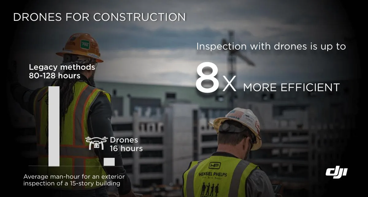
Laut einer McKinsey-Studie kämpft die Bauindustrie mit einem hohen Maß an Ineffizienz. Große Bauprojekte dauern in der Regel 20 % länger als erwartet und liegen bis zu 80 % über dem Budget.
Vorteile kompakt:

Mehr Effizienz
- Effizienzsteigerung der geografischen Informationserfassung
- Optimierung der Datenverarbeitung

Niedrigere Kosten
- Kostensenkung bei Ausrüstung und Laborequipment
- durch Automatisierung der Datenerfassung und Analyse mit Drohnen- und Softwarelösungen

Standardisierte Ergebnisse
- Erstellung von Ergebnissen wie DSM, DOM und 3D-Modellen aus Luftbildaufnahmen mit Hilfe von Drohnen- und Softwarelösungen
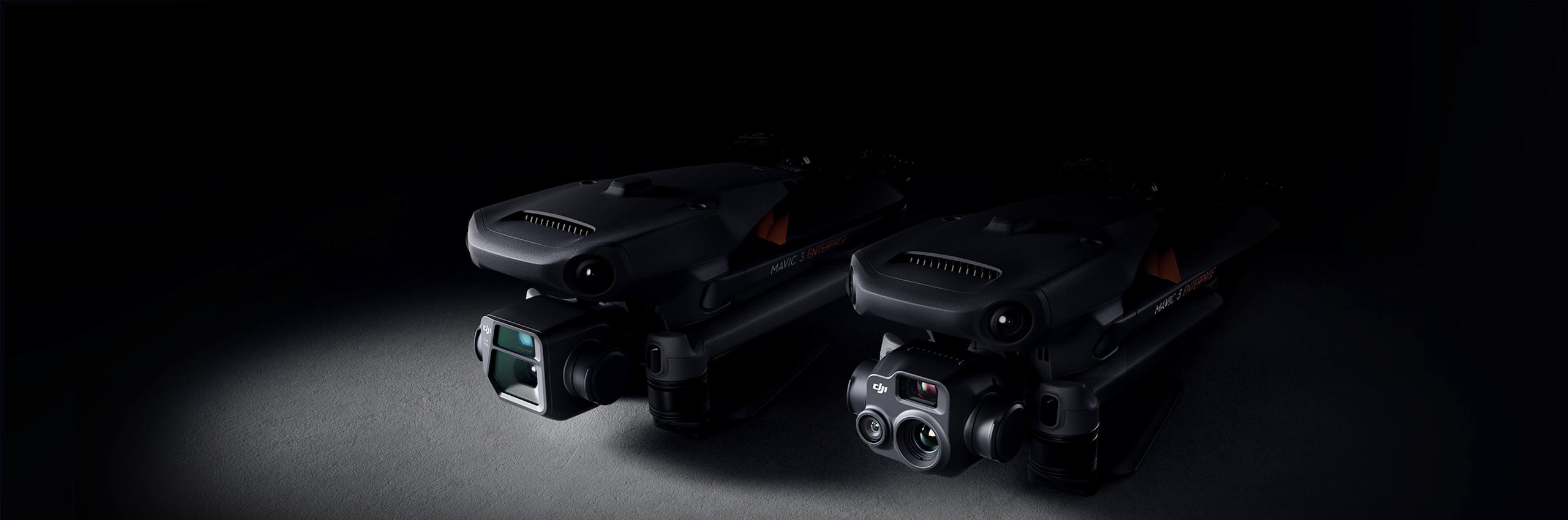
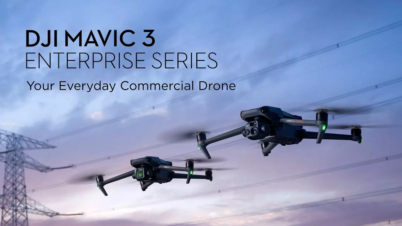
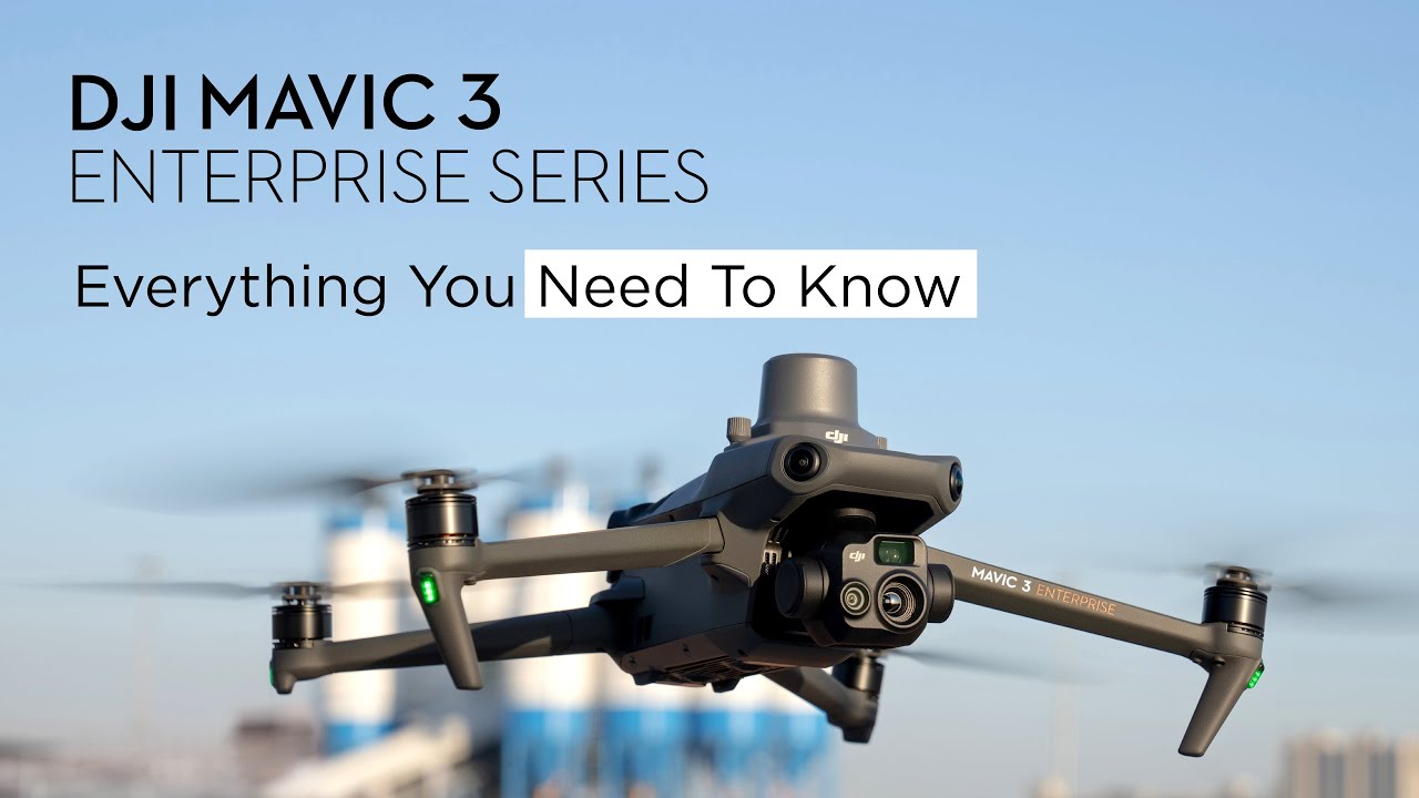
DJI Mavic 3 Enterprise Series
Lösung für die Dokumentation von Objekten und Arealen.
Unglaublich effizient. Ultrakompakt. Unglaublich vielseitig.


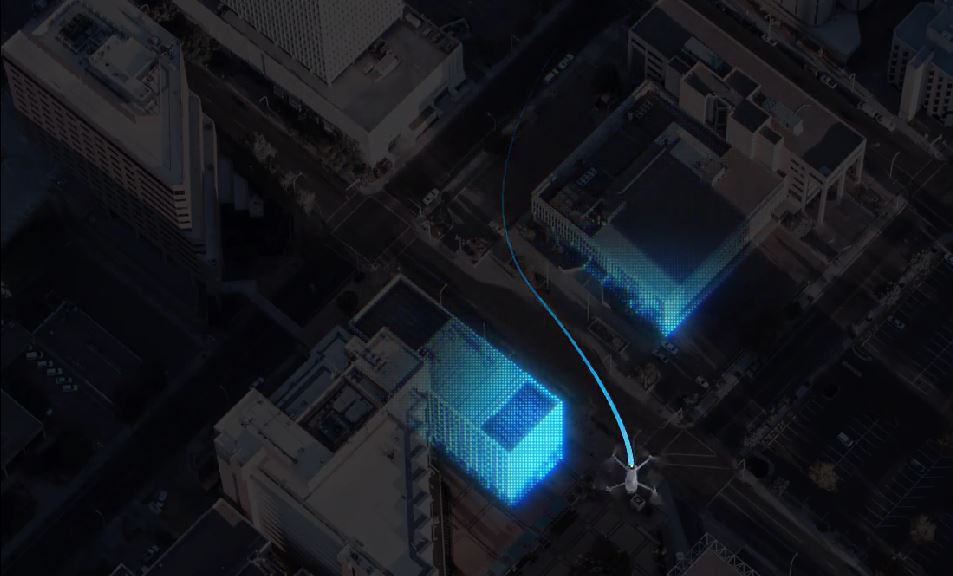
Einsatz von Drohnen im Bereich Architektur, Ingenieurswesen und Baugewerbe (AEC) - Herausforderungen und Lösungen
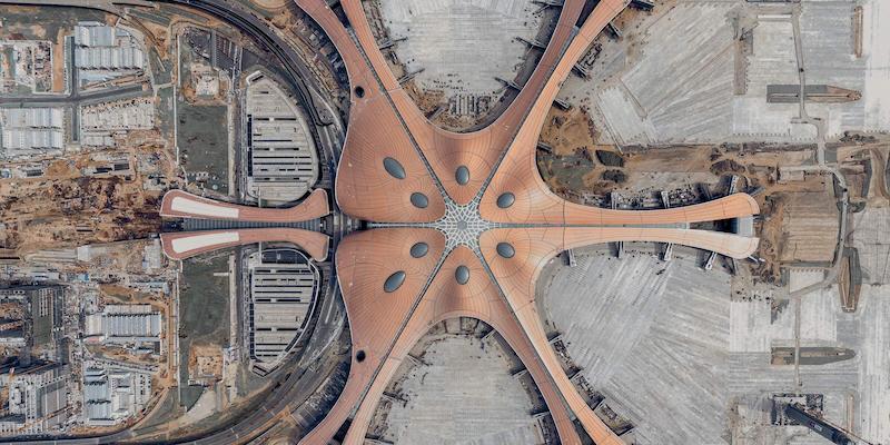
Standortvermessungen mit Drohnen generieren genaue Daten, die sich in Bauprojekten vom Design bis zur Fertigstellung nutzen lassen.
Architektur und Ingenieurwesen
Traditionelle Herausforderungen in der Architekturtechnik
Der Mangel an präzisen Positionsdaten macht es schwierig, BIM-Designs, Straßen-Vektorkarten und Satellitenbilder zusammenzuführen, was wertvolle Zeit und Arbeitskraft kostet.
Wie Drohnen die Architekturtechnik unterstützen
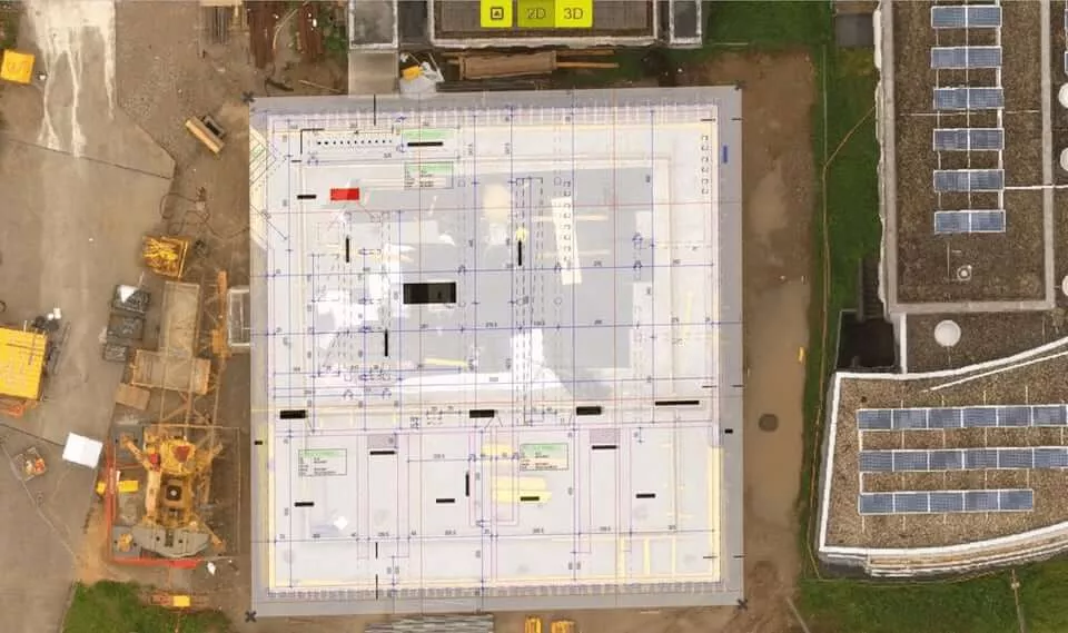
- Präzise 3D-Modelle können zur Visualisierung von Designs in das BIM-Modell eingepasst werden.
- Optimieren Sie deren Projektplanung und Design!
- Kompatibilität von DJI-Produkten mit vielen GIS-Softwarelösungen
Mehrwert in jeder Phase des Lebenszyklus eines Projekts
Phasen
1. Angebotsprozess, Vorplanung und Bauvorbereitung
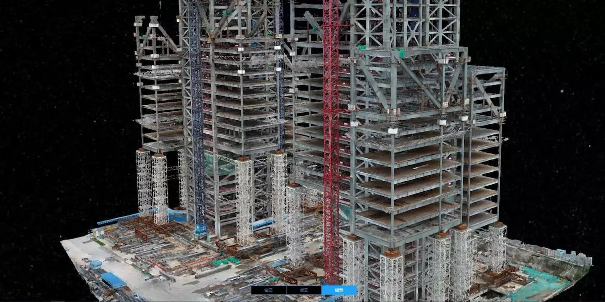
- Von Drohnendaten erstellte DGMs und DSMs eines Geländes können mögliche Entwässerungspunkte, Höhenänderungen und andere Faktoren aufzeigen.
- Die besten Standorte zum Bauen, Graben oder Lagern von Materialien lassen sich auswählen.
2. Entwurf
- Neues Gesamtbild durch Überlagerung von drohnenerstellten 3D-Modellen mit BIM-Modell (CAD-Datei) neben einem bestehenden Gebäude ist sichtbar und auswertbar
- Analyse und Visualisierung von Schattenwürfen und Ausblicken
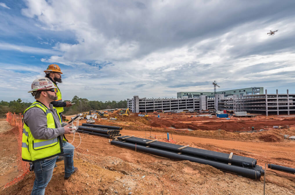
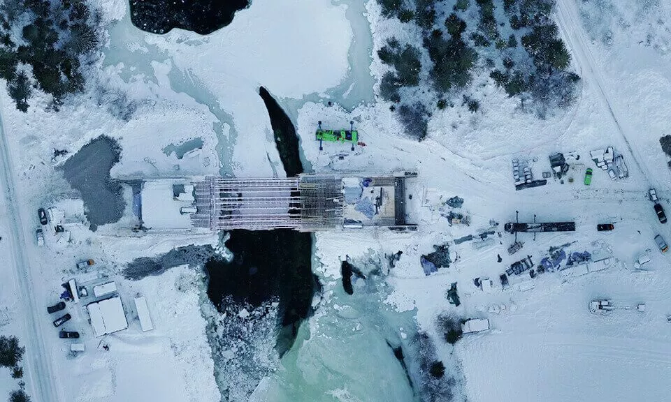
Fortschrittsüberwachung im Bauprozess
Traditionelle Herausforderungen bei der Fortschrittsüberwachung
Es ist schwer, Bauprojekte zu verfolgen, da viele Teams gleichzeitig auf einer großen Fläche tätig sein können und oft der Überblick verlorengeht.
Feste Kameras vor Ort können nicht das gesamte Gebiet im Detail festhalten und versagen dabei, kritische Fortschrittsinformationen zu erfassen.
Wie Drohnen bei der Fortschrittsüberwachung helfen
- Sammeln Sie regelmäßig Luftbilder!
- Erhalten Sie vollständige Information über Fortschritte und dynamische Änderungen mit Hilfe von 3D-Modellierungs- und Bearbeitungssoftware!
- Weisen Sie Ressourcen effektiv zu!
- Erstellen Sie visuelle Zeitpläne und halten Sie den Zeitrahmen ein!
- Vergleichen Sie Entwürfe mit den Bedingungen vor Ort!
- Erkennen Sie Planabweichungen!
3.1. Erdarbeiten
- präzise Volumenmessungen
- Abtrags-/ Auftragsanalyse
3.2. Bestandsaufnahme vs. Entwurf
- Feststellung von Unterschieden zwischen dem geplanten und tatsächlichen Baufortschritt
- Steuerung von Projekten
3.3. Überwachung des Baufortschritts
- Kontrolle und Validierung der abgeschlossenen Arbeiten
- Regelmäßige Erhebungen können durchgeführt werden, um eine Aufzeichnung der Fortschritte zu erstellen.
3.4. Dokumentation als Vorbereitung für den Fall von späteren Rechtsstreitigkeiten
- Fehlererkennung vor Gestaltannahme
- Vermeidung von Abriss
- Dokumentation vorrätig bei Überbauung von Fehlern
3.5. Übergabe
- Der Bauherr kann die Dokumentation sorgfältig durchsehen, bevor er der Übergabe zustimmt. Die Auftragnehmer können nachweisen, dass die Arbeiten gemäß den Anforderungen durchgeführt wurden.
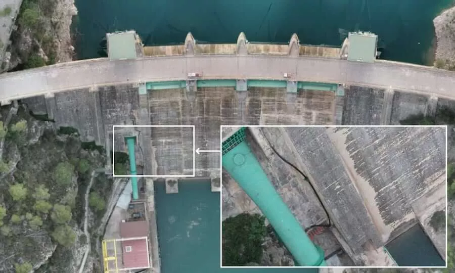
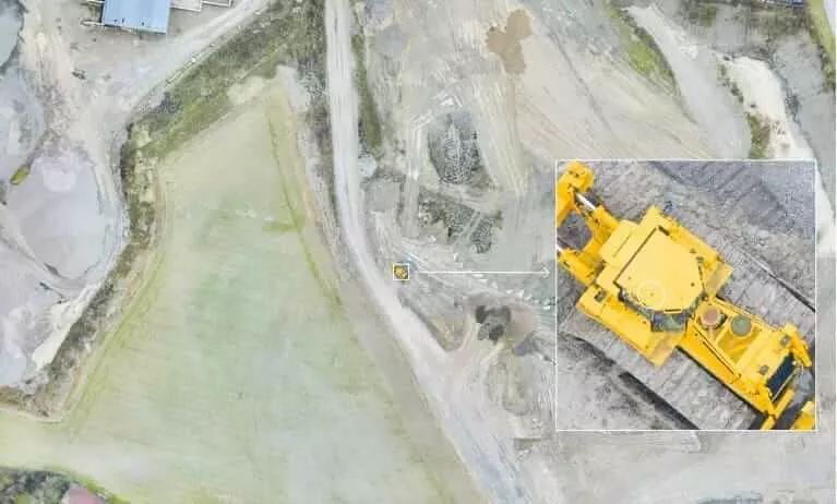
4. Gebäudeninspektionen
Traditionelle Herausforderungen bei der Gebäudeinspektion
Herkömmliche Gebäudeinspektionen benötigen häufig Fachkräfte mit manuellem Zugang über Gerüste, Anbauten oder weite Wege zum Bauwerk. Das ist zeitaufwendig und gefährlich.
Es ist häufig schwer, das Gebäude in seiner Gesamtheit zu visualisieren, und manuelle Inspektionen produzieren keine standardisierten digitalen Ergebnisse.
Wie Drohnen die Inspektion und Wartung von Gebäuden verbessern
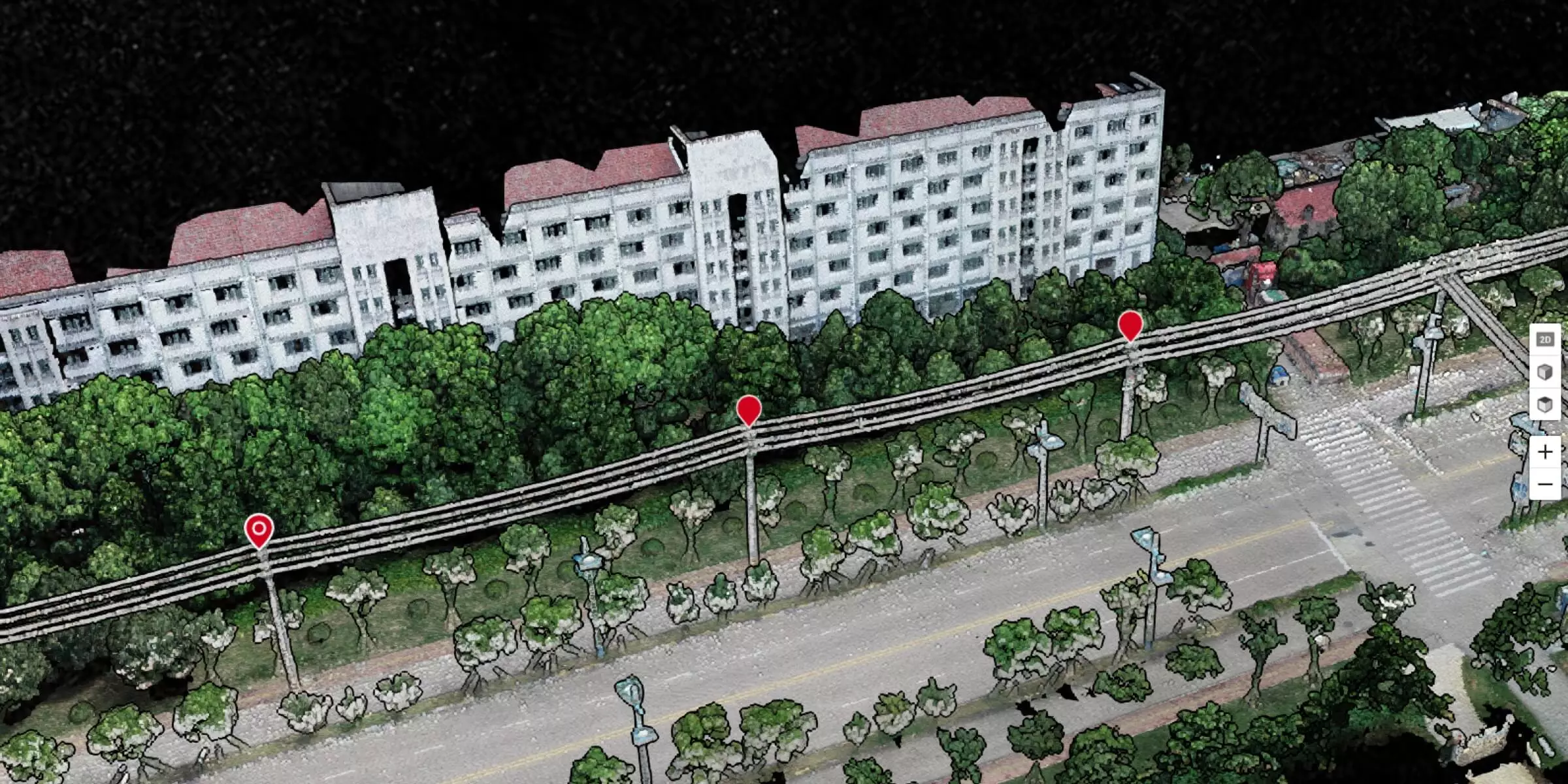
- Schnelle Erstellung von detaillierten 3D-Modellen und Karten (mit hochauflösenden Nahaufnahmen) für Bauakzeptanz, Routineinspektion und Wartung
- Inspektions- und Wartungsprozess lassen sich digitalisieren
- Sicherheit des Personals lässt sich gewährleisten
- Schnellere und kostengünstigere visuelle Inspektion von großen Anlagen und schwer zugänglichen Bereichen
5. Renovierung; Reparatur
- Auch hier können Drohnen eingesetzt werden.
Nutzen von Drohnen in der Dokumentation
- Veränderung von Produktlebenszyklen von Gebäuden in der Architektur-, Ingenieur- und Bauindustrie
- Top-Down-Perspektive für virtuelle Planungs- und Bauabläufe
- Noch nie dagewesene Projekttransparenz wird erreicht
- Drohnen ermöglichen wichtige Entscheidungen von höchster Sicherheit
- Drohnen ermöglichen Großprojekte effizienter zu planen und zu verwalten
Drohnen können helfen Ihr Projekt auf Kurs zu halten!