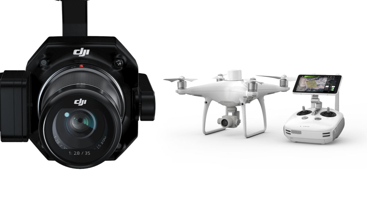
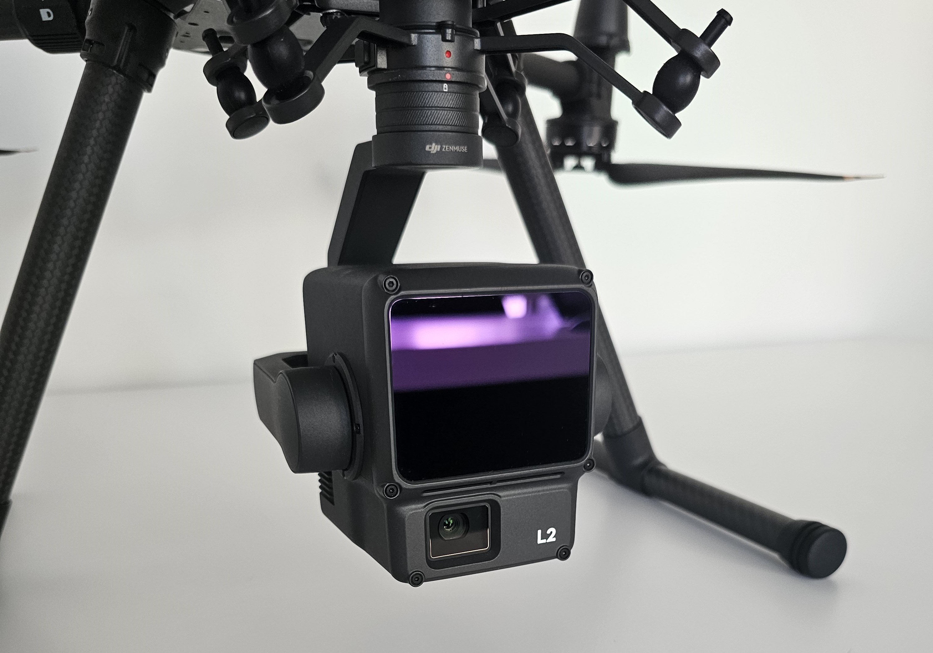
At its release, the Phantom 4 RTK (P4RTK) was groundbreaking, by equipping an RTK receiver on the drone, it allowed for unprecedented accuracy with photogrammetry mapping. There were even reports that this could be achieved without ground control points (GCPs). This method would vastly reduce the time and cost requirements for surveying, breaking photogrammetry into the surveying industry as a highly effective method. Now, two years later, the release of the Zenmuse P1, which can be fitted to the RTK equipped Matrice 300 (M300), is the first UAV-mounted camera to seriously challenge the efficiency and accuracy of that achievable from the P4RTK. In this analysis, we tested both the P4RTK and the P1, and made an analysis into the achieved resolution, accuracy and efficiency to evaluate these two pioneering products.
With the DJI Pilot app on the DJI Matrice 300 RTK (M300) Smart Controller (SC), and the GS RTK app on the P4RTK remote controller (RC) we were able to precisely plan the flights, ready for immediate upload to the drone once in the field. From these plans, we could already see estimated flight time and number of photos that would be taken.
In total, four flights were planned: two with the P4RTK and two with the P1. We wanted to test both nadir and oblique missions with each camera, making up the four flights. For the oblique tests, we enabled the ‘Smart Oblique’ feature available with the P1. This claims to offer significant efficiency gains compared to oblique missions acquired with the P4RTK at the same ground sampling distance (GSD) (a measure of resolution). This is done by the drone intelligently altering the flight speed and gimbal angle. For the best comparison, we consequently matched the GSD between the P1 and P4RTK. The P1 flights were undertaken at 100 m Above Ground Level (AGL), with an estimated GSD of 1.26 m/s. To achieve a similar GSD with the P4RTK, as per the GS RTK app, flights at a much lower 50 m AGL were required. This indicates the improvement in resolution with the P1 compared to the P4RTK. We used two different methods of correcting the GNSS data from the rover (drone): the D-RTK 2 mobile station, and a Network RTK service provider. The flights and their parameters are shown in Table 1.
