

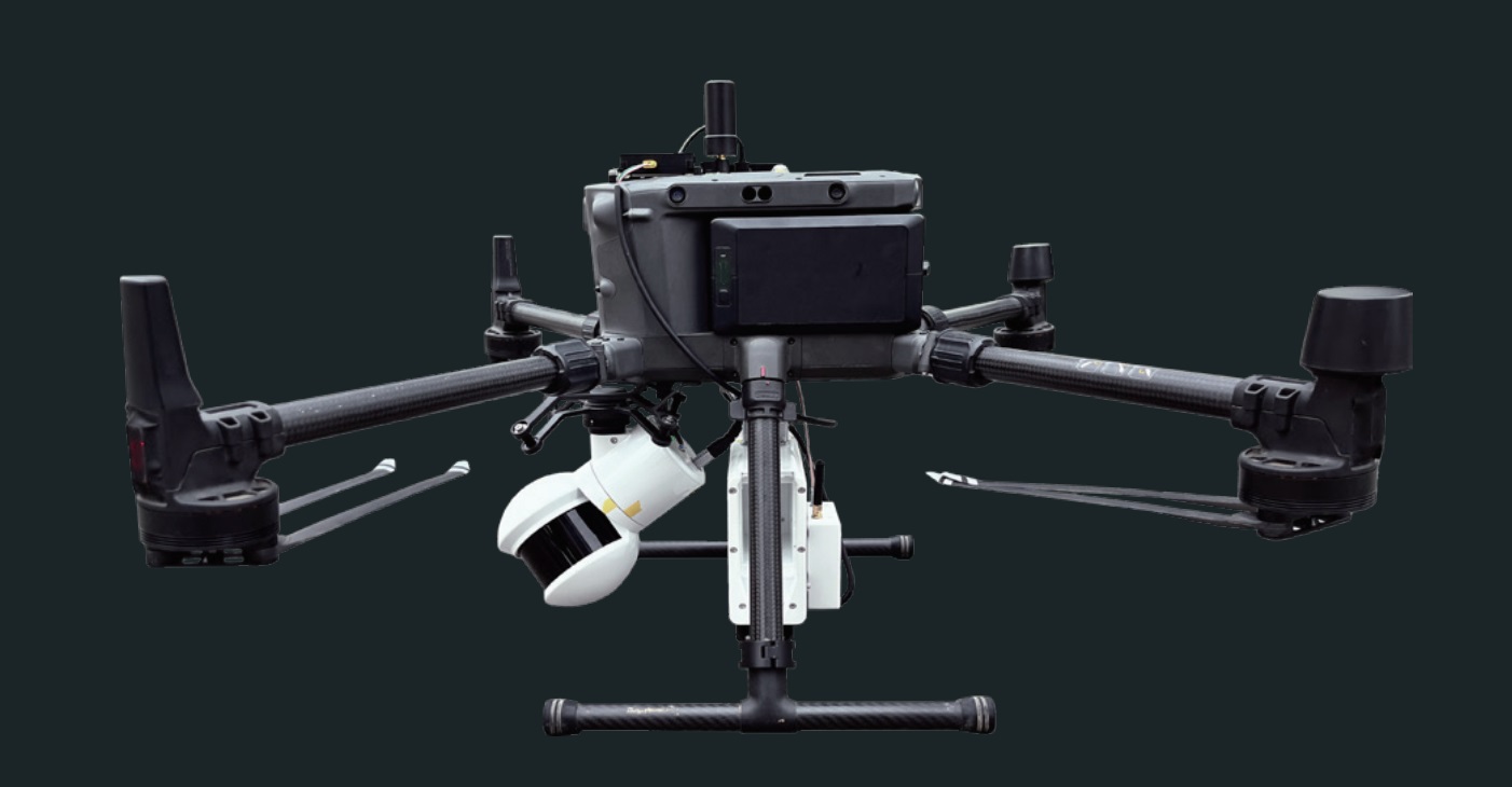

A wide range of maps with the same drone
Data-Types
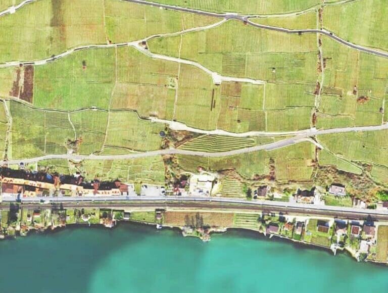
Orthomosaic maps
2D orthomosaic maps contain position (exact X and Y coordinates) and color information for each point on the map. These aerial maps can be used for linear (distance) and surface calculations, as well as change monitoring.
- 2D georeferenced orthomosaic maps
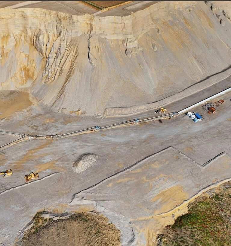
3D Reconstruction
3D data can be converted into 3D models, point clouds, digital surface and terrain models, elevation maps, photorealistic reconstructions and more. These high-resolution aerial imagery results provide volume, distance, surface and elevation calculations used in mine planning, stockpile inventories , topographic renderings and the creation of photorealistic models.
- 3D point cloud
- orthomosaic
- Texture map
- Digital surface and terrain model (DSM, DTM)
- Outline
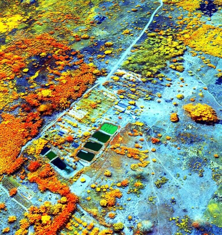
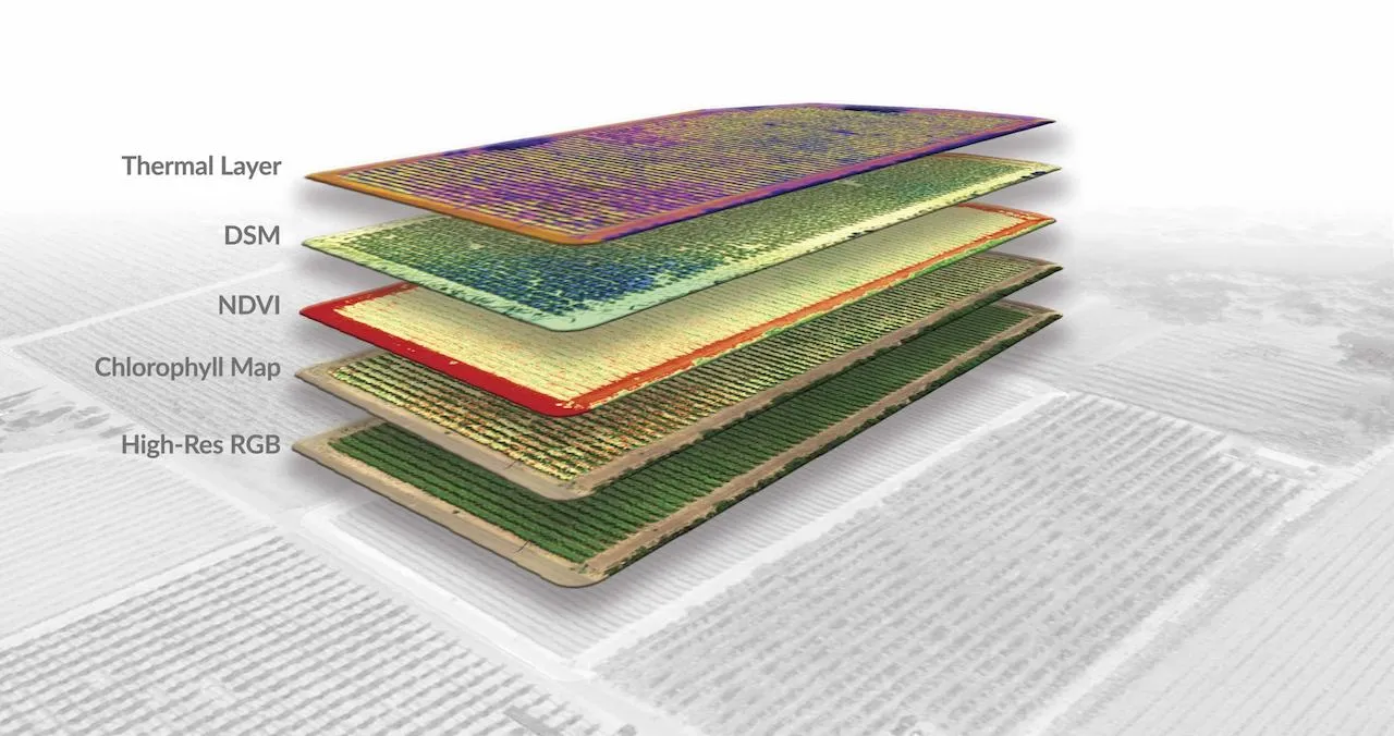
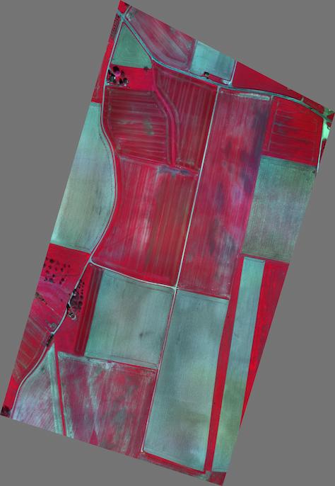
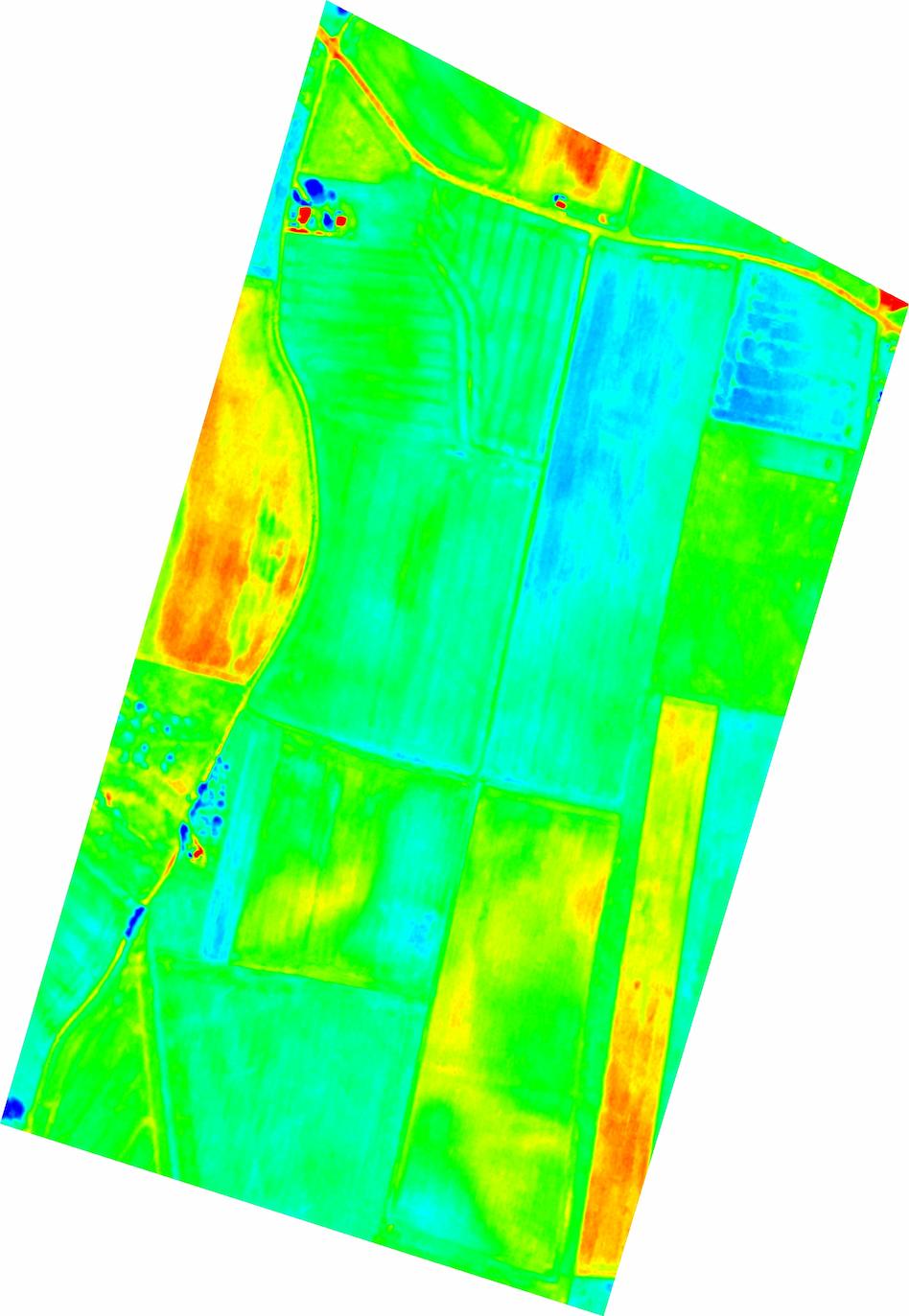
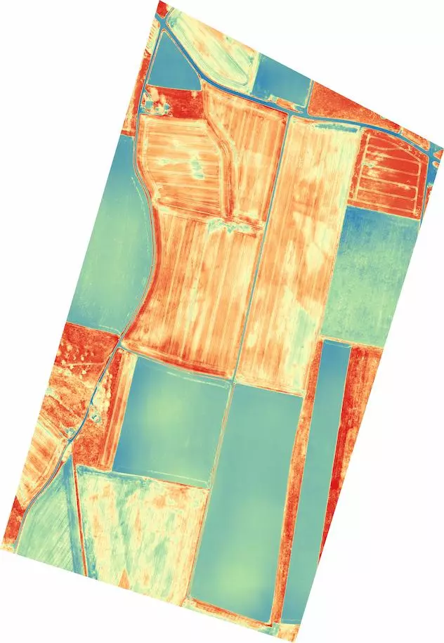
Multispectral images
WingtraOne's RedEdge MX and Altum camera option collects multispectral data , which can be converted into chlorophyll maps, NDVI layers, digital surface models, or RGB single images. A resulting high-resolution aerial map can be used to monitor plant health and vitality, as well as assess surface characteristics, water flow, and more.
Index map (NDVI)
Chlorophyll map
NDRE, OSAVI, NIR, CIR
DSM
Weed ½
RGB
CIR
LWIR
NDVI

Individual images / orthophotos
Single aerial images collected by WingtraOne are used in various research areas. In combination with machine learning algorithms, single aerial images can carry huge amounts of information.
- Single images