


GREENVALLEY LiGrip O1 Lite GNSS Modul
GNSS Module for LiGrip O1 Lite
RTK Module GNSS System Supports 5-constellations 14-band
RTK Accuracy Horizontal 0.8 cm + 1 ppm, Vertical 1.5 cm + 1 ppm
GPS:L1 / L2 / L5 RTK
Protocol NTRIP
GLO:L1 / L2
Network Communication 4G Global Pass[4]
BDS:B1I / B2I / B3I
Size L 45 mm × W 45 mm × H 95 mm
GAL:E1 / E5a / E5b
Weight 119 g
QZSS:L1 / L2 / L5
GNSS Raw Data Format log
Compatibility Support for LiGrip O1 Lite and LiGrip O1
RTK Data Format rtk

GreenValley International Inc.
GreenValley International Inc (GVI), headquartered in Berkeley, California, is a leading innovator of 3D mapping technologies. The company provides a wide-range of advanced aerial, terrestrial, and mobile LiDAR survey and mapping hardware systems as well as cutting edge software and service solutions.
Manufacturer website
1 x GNSS Module for LiGrip O1 Lite
1 x LEMO Cable
1 x RTK Bracket
Login
accessories
New


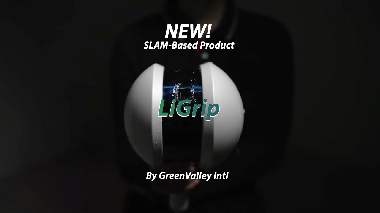
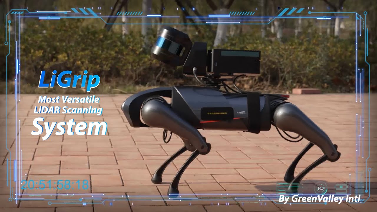
GREENVALLEY LiGrip O1 Lite
€8,559.57*
E014GGR
GREENVALLEY LiGrip O1 Lite
The LiGrip O1 Lite is the latest generation of lightweight products in GreenValley International’s LiGrip handheld series.
It features an integrated design and supports various mapping methods, including RTK-SLAM, PPK-SLAM, and SLAM. It can output real-time, high precision, true-color LAS point cloud data with absolute coordinates.
The LiGrip O1 Lite can be equipped with an RTK module and a telescopic pole, making it suitable for applications such as floor plan measurement, mine surveying, stockpile measurement, and facade measurement.
Combined with LiDAR360 and LiDAR360MLS software, it provides customers with a more efficient turnkey solution.
System Parameters
Size L 184 mm × W 115 mm × H 045 mm
Weight 1,0 kg
Voltage 14,4 V
Battery 3350 mAh
Storage 256 GB SSD
IP Rating IP54
Connections USB, Ethernet
Battery Life ~ 180 min
Suitable Environments Indoor and outdoor scenarios
LiDAR Parameters
Scan Rate 200.000 pts/s
Scan Range 40 m 10 % reflectivity, 70 m 80 % reflectivity
FOV: horizontal 360°, vertical -7° ~ 52°
Camera
Type LiCam resolution 3840 × 2160
Data Format .bin (before parsing), .JPEG (after parsing)
Resulting Data
Relative Accuracy ≤3cm*
Absolute Accuracy 5cm
Point Cloud Formats .Las, .LiData