GreenValley International
GreenValley International (GVI) offers advanced but easy-to-use laser scanning technologies from the air, from the ground and from mobile devices. The extensive product line includes several high-precision 3D mapping hardware solutions and software solutions.

Jetzt neu: LiGrip O1 Lite
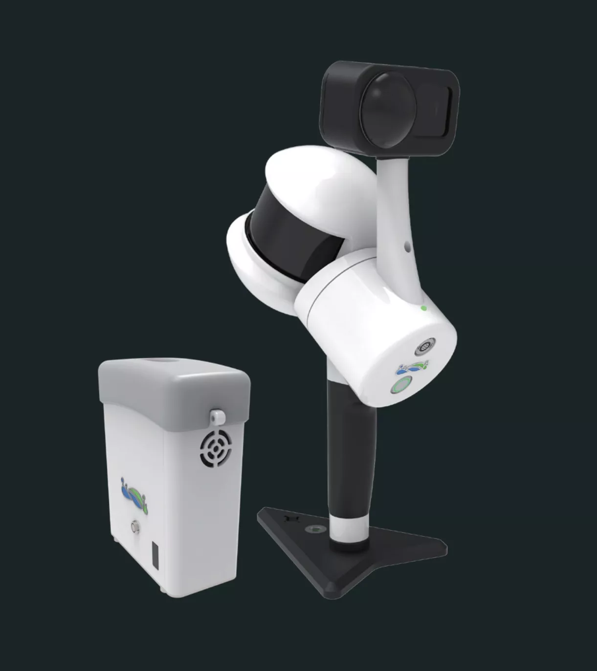
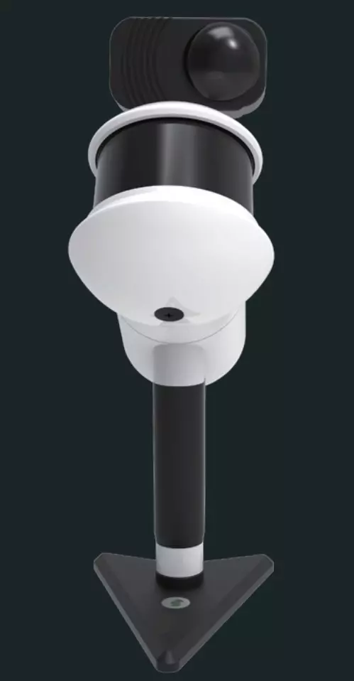
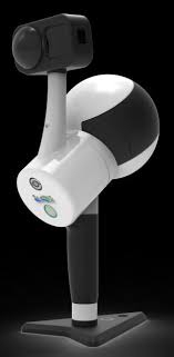
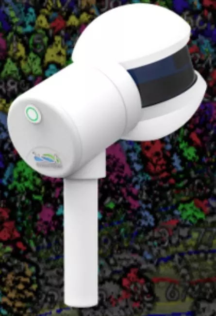
Der LiGrip O1 Lite ist die neueste Generation der leichten Produkte der GreenValley LiGrip-Handheld-Serie. Dank seinem integrierten Design unterstützt er verschiedene Kartierungsmethoden, einschließlich RTK-SLAM, PPK-SLAM und SLAM. Er kann hochpräzise, farbgetreue LAS-Punktwolkendaten referenziert mit absoluten Koordinaten in Echtzeit ausgeben. Der LiGrip O1 Lite kann mit einem RTK-Modul und einem Teleskopstab ausgestattet werden. Er eignet sich für Anwendungen wie Grundrissvermessung, Minenvermessung, Haldenvermessung und Fassadenvermessung. In Kombination mit der LiDAR360- und LiDAR360MLS-Software bietet er den Kunden eine effiziente, schlüsselfertige Lösung.

Lang anhaltende 3-stündige Akkulaufzeit
Der LiGrip O1 Lite ist mit einem 47,5-Wh-Akku mit hoher Kapazität ausgestattet und bietet eine Betriebsdauer von 3 Stunden.
1 kg leichtes Design
LiGrip O1 Lite verfügt über ein integriertes Design, das die Handhabung und Bedienung einfach und komfortabel macht.
Unterschiedliche Referenzierungsoptionen
RTK-SLAM, PPK-SLAM und SLAM
Verarbeitung und Kartierung in Echtzeit
LiGrip O1 Lite unterstützt die Berechnung, Einfärbung und Kartierung in Echtzeit und erzeugt hochpräzise und farbgetreue LAS-Punktwolkendaten mit absoluten Positionskoordinaten. Die Ergebnisse können sofort exportiert und verwendet werden.
Globales RTK-Modul
Der LiGrip O1 Lite verfügt über ein integriertes globales 4G-Kommunikationsmodul und ein drahtloses externes 4G-Modul, das einfach einzurichten und sofort einsatzbereit ist.
Unterstützt PPK/RTK Dual-Differential-Positionierung
Während des Betriebs können Sie je nach Bedarf und Einsatzbedingungen die Positionierung über diefferentielles GNSS. Die absolute Positionierungsgenauigkeit erreicht bis zu 5 cm.


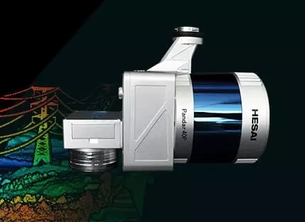
LiAir 220N
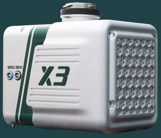
LiAir X3-H
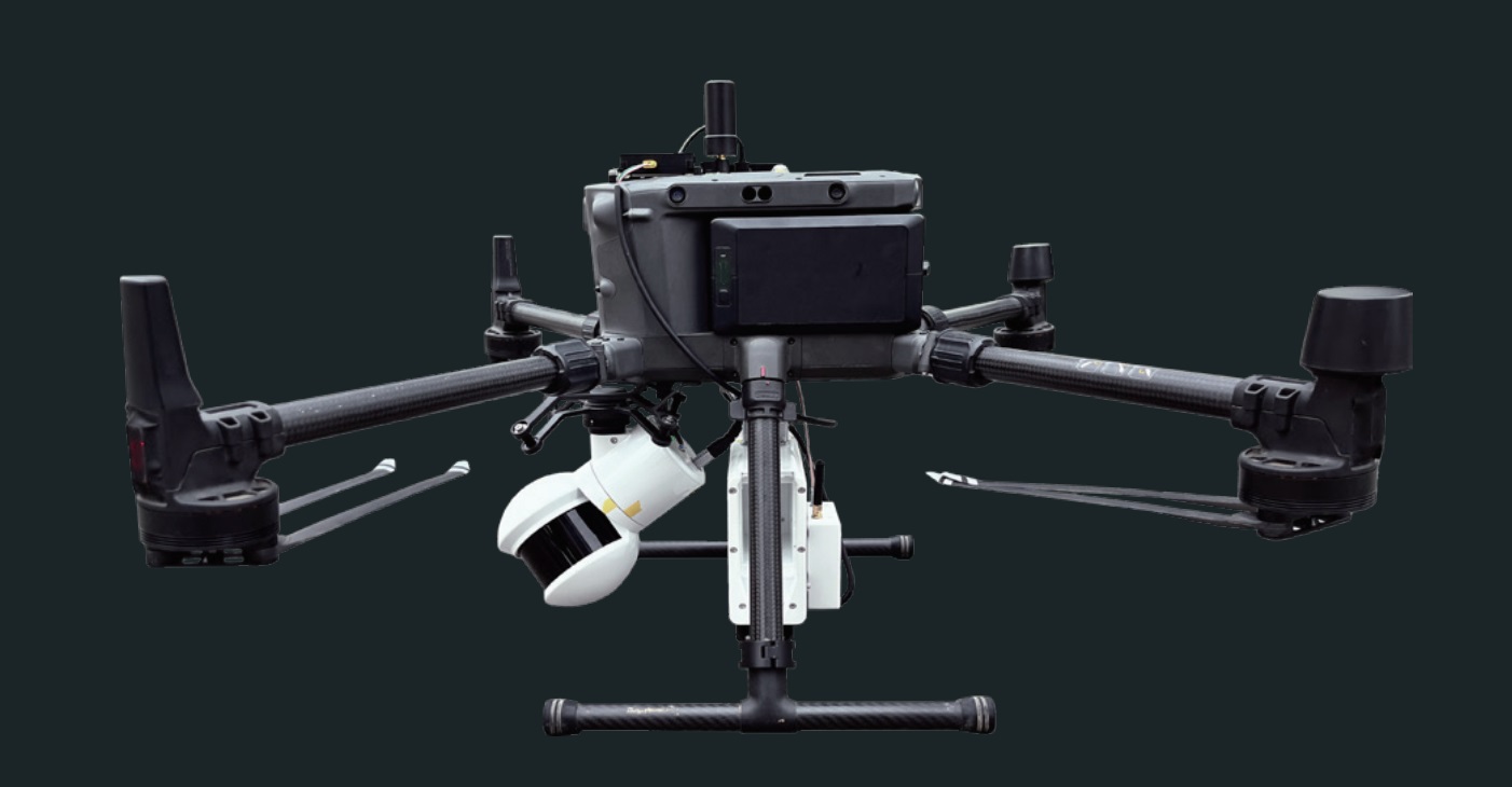
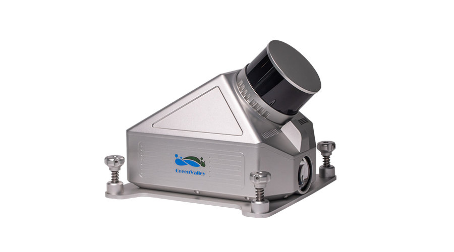
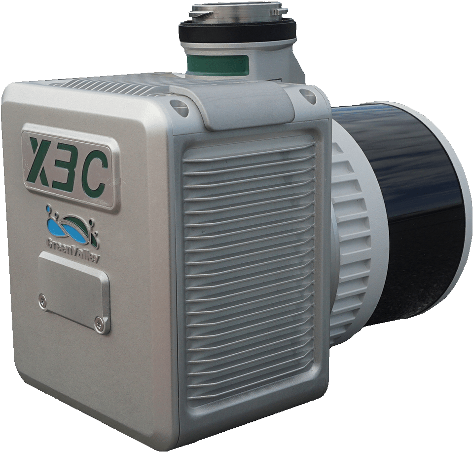
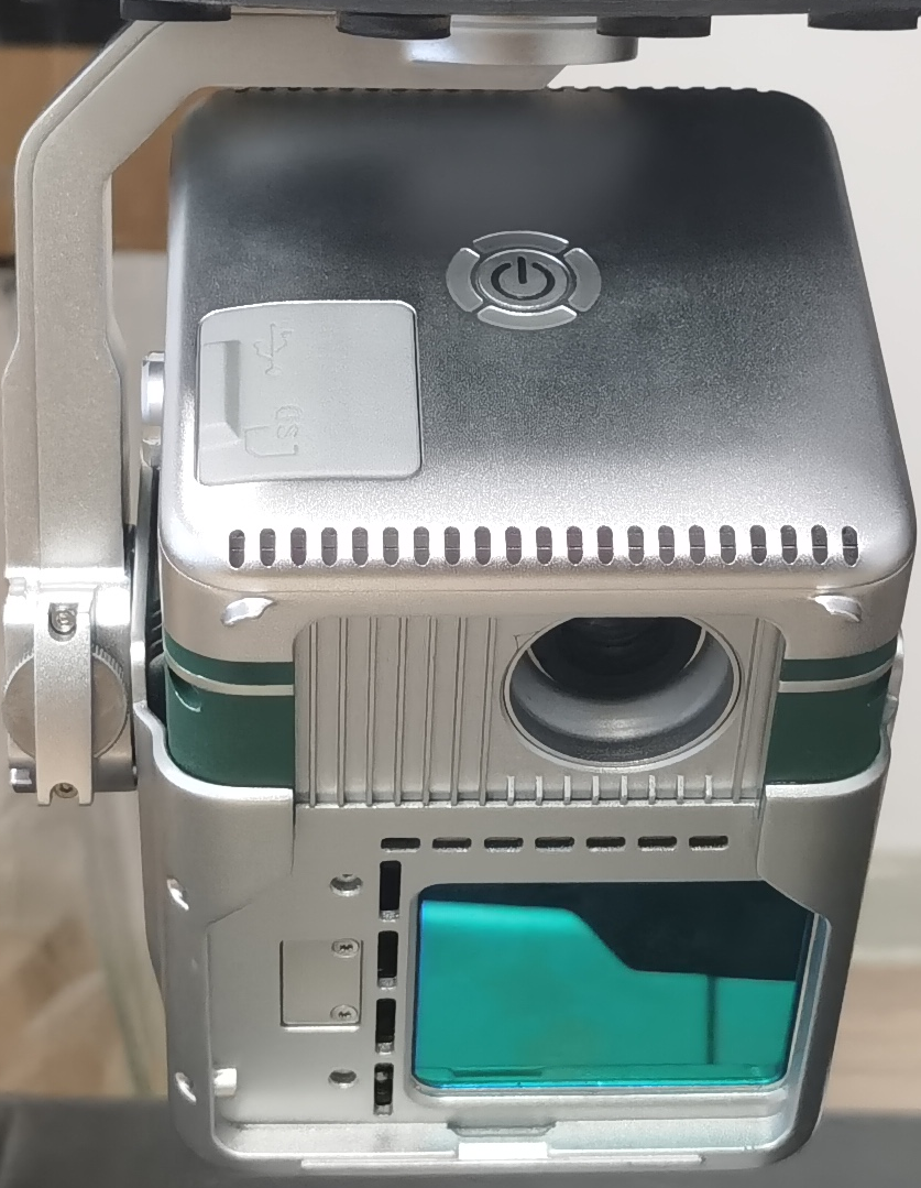
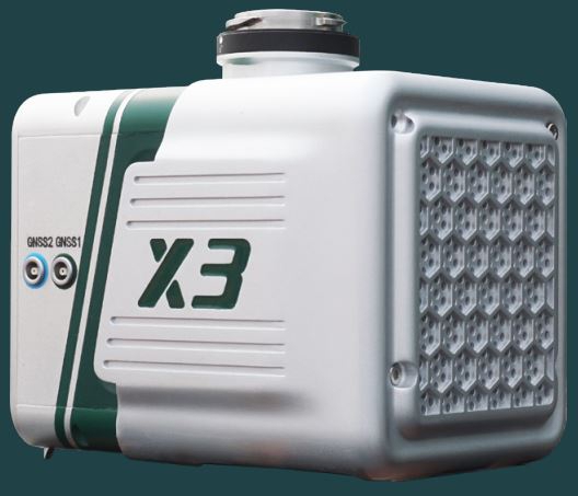
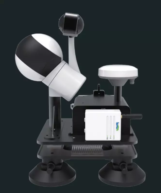
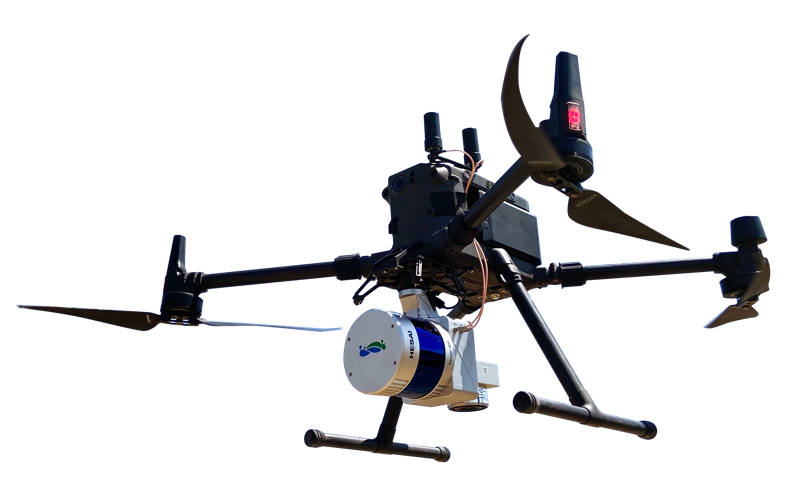
Der LiAir X3-H ist das neueste kompakte und leistungsstarke Gerät der LiAir-Serie von GreenValley International. Es verfügt über ein neues integriertes Design und integriert leichtes LiDAR, selbst entwickelte Trägheitsnavigation, eine hochauflösende Mapping-Kamera und Bordcomputersysteme, die ein neues Maß an Effizienz bieten.
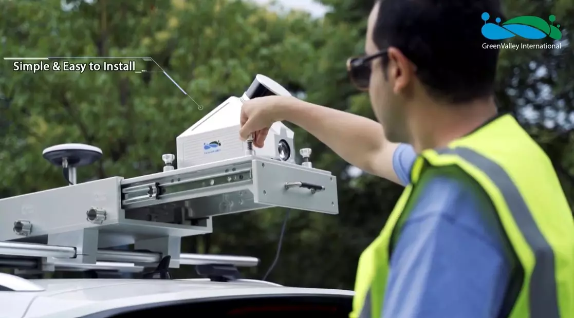
Leicht und kompakt - einfach zu bedienen
Schutzklasse IP64
Die unkomplizierte Benutzeroberfläche ermöglicht eine Bedienung auf Knopfdruck für maximale Effizienz.
Neue eingebaute Kamera - für ultraklare Bildqualität
26 Megapixel Bildauflösung, die sowohl hochwertige Echtfarben-Punktwolken als auch Orthofotos für die Photogrammetrie ermöglicht.
LiPlan Flight Assistance Software - für eine einfache Feldarbeit
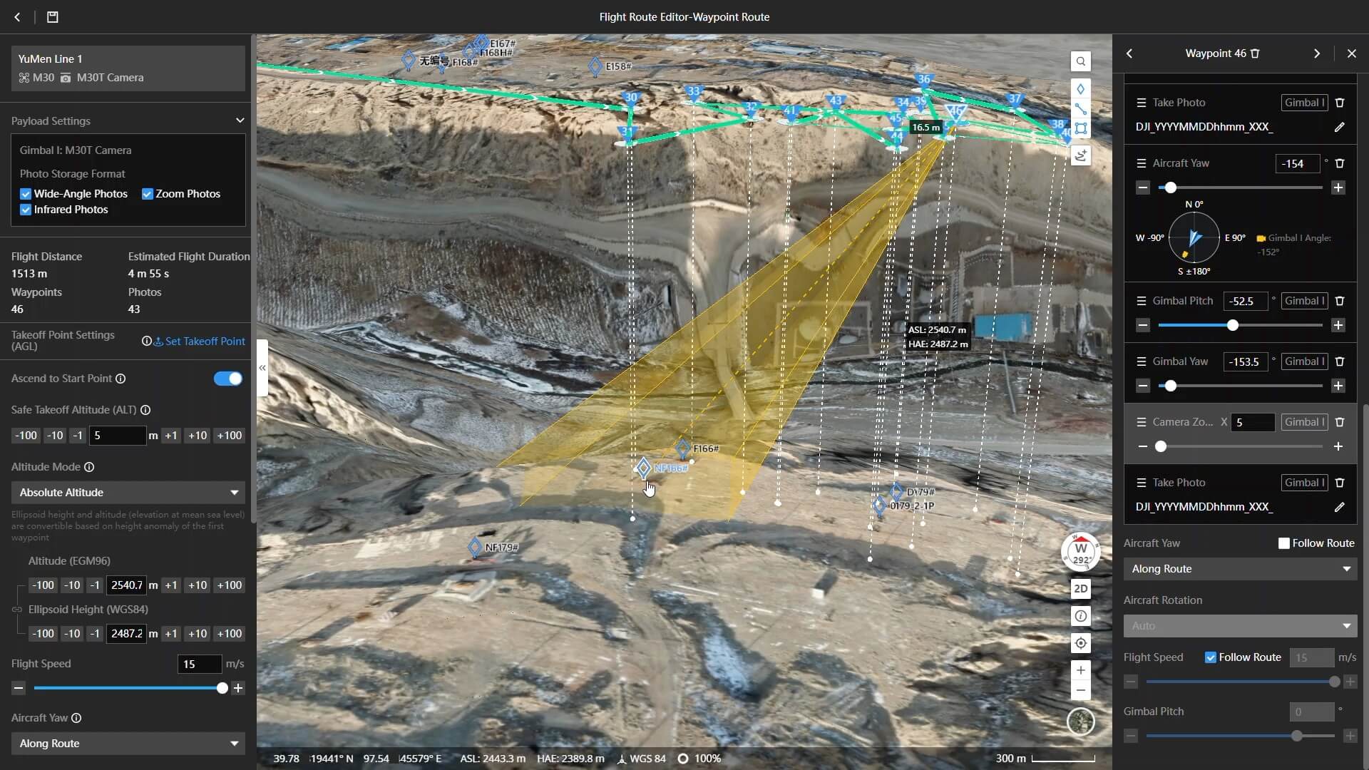
LiPlan kann direkt auf der M300 RTK-Fernsteuerung installiert und in Verbindung mit dem X3 verwendet werden, um den Bedienern die Kontrolle der Standortbedingungen in Echtzeit zu erleichtern.
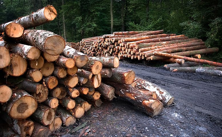
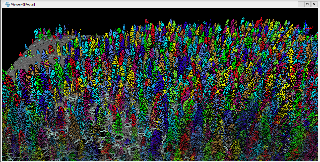
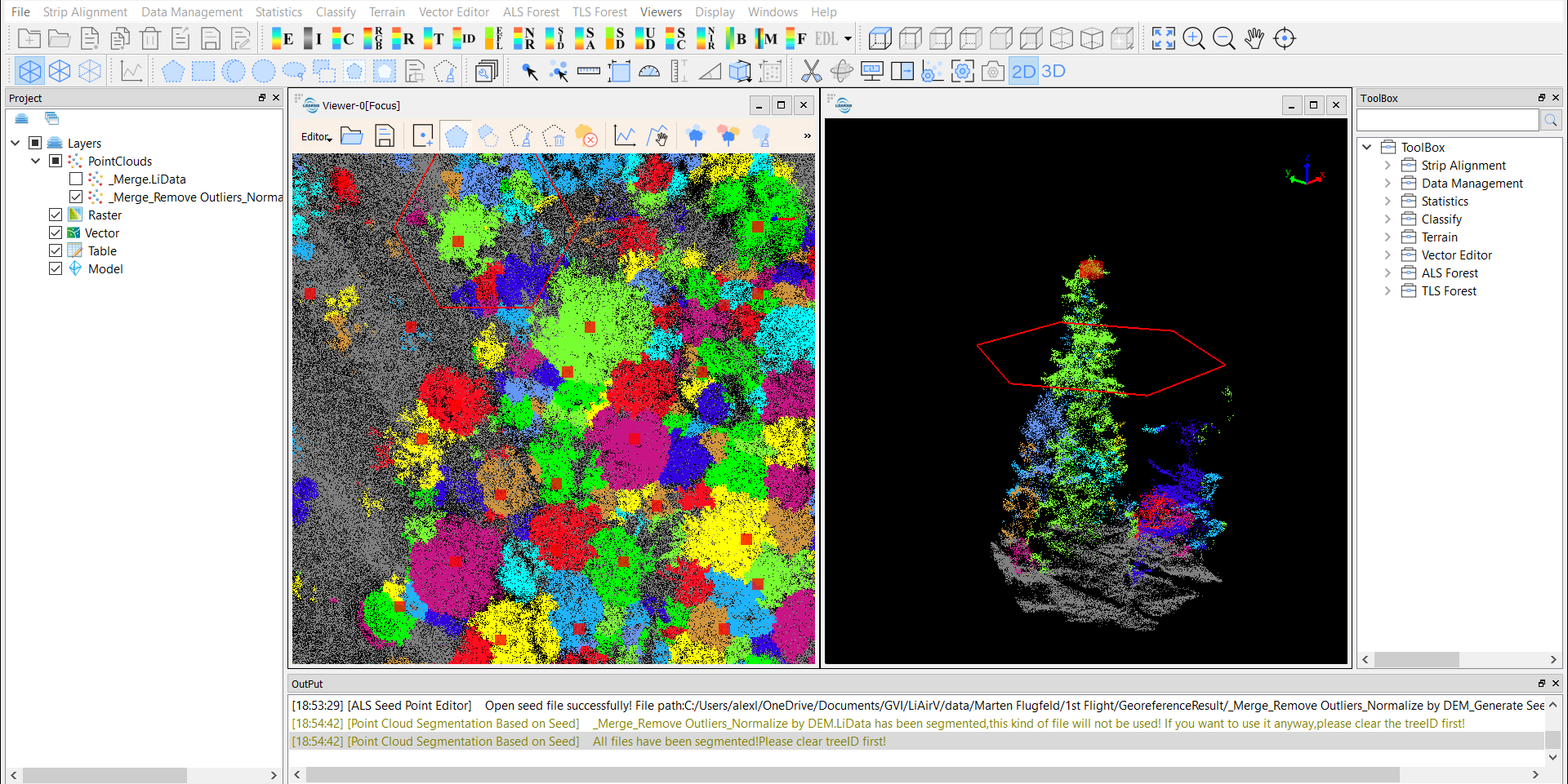
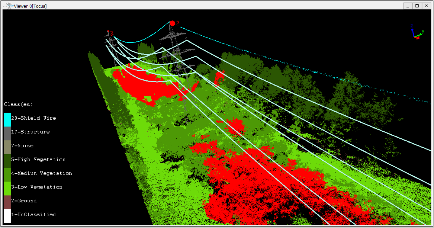
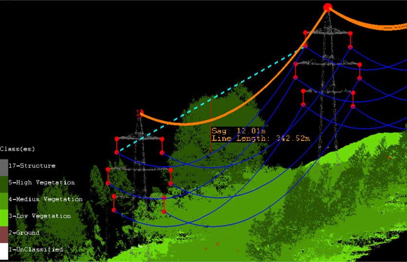
Nutzen Sie die LiDAR360-Verarbeitungssoftware, um aus mobilen, terrestrischen, UAV- oder luftgestützten Systemen Geodatenprodukte zu erzeugen, die den kritischen Anforderungen der Förster entsprechen.
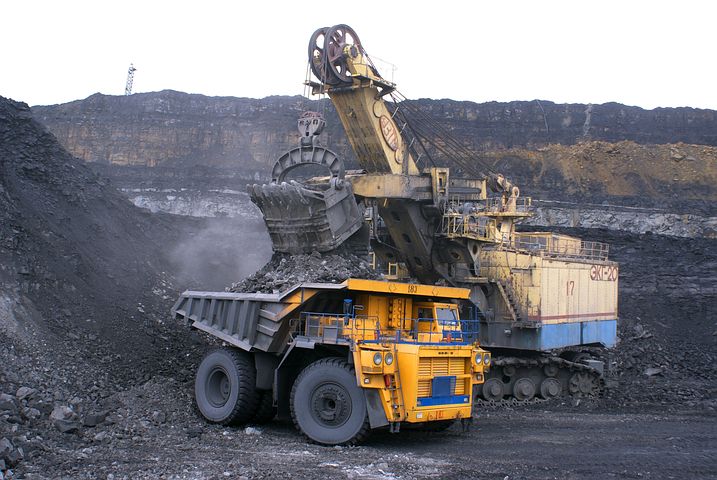
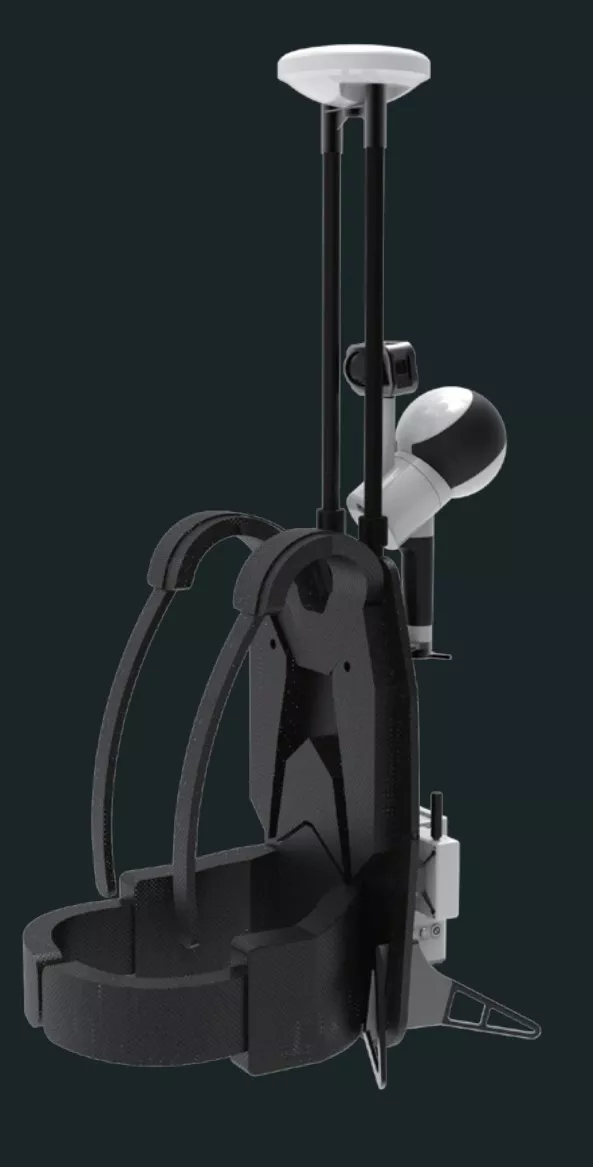
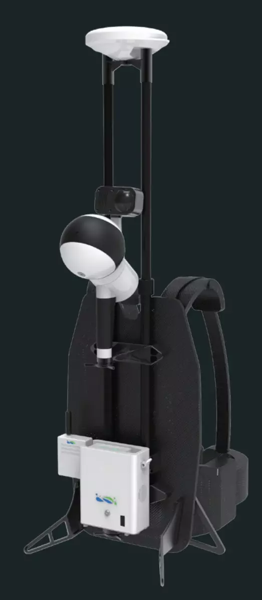
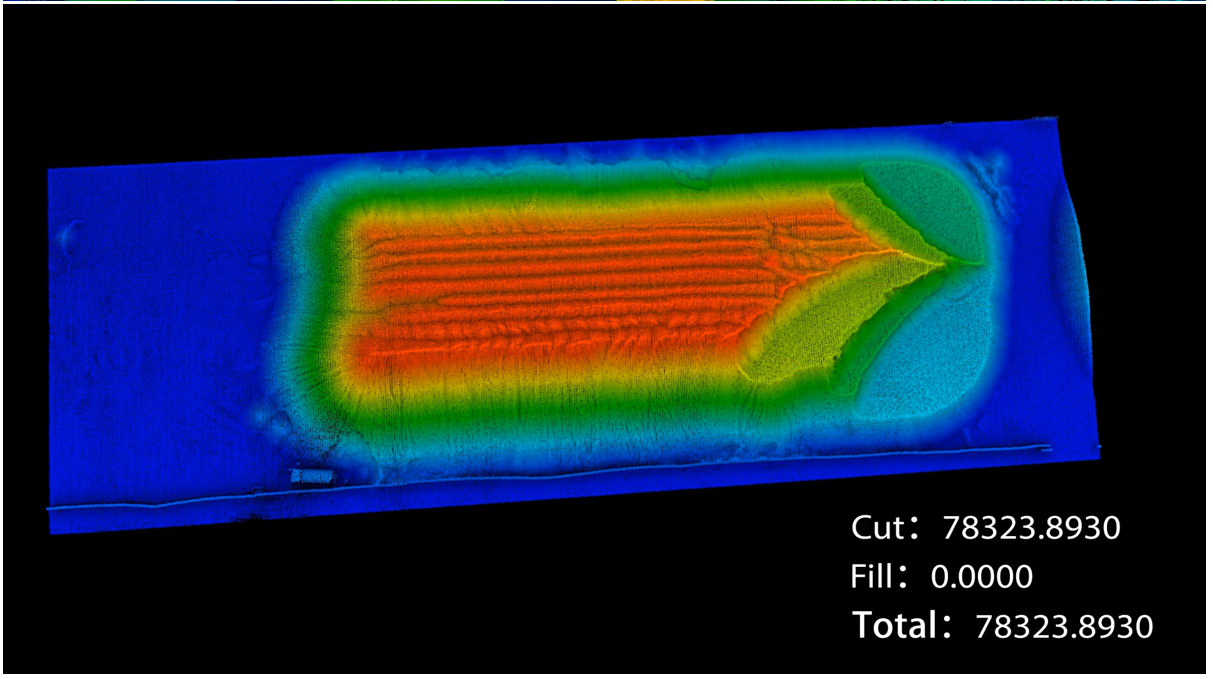
Lösung mit GVI LiBackpack D50 und LiDAR360, die es den Kunden ermöglicht, schnell und genau das Volumen der Beladung der Sandschute in verschiedenen und manchmal schwierigen Betriebsumgebungen zu messen.
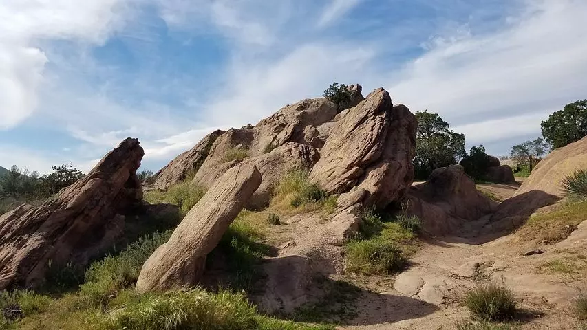
Der Abgleich von Datensätzen, auch Ko-Registrierung genannt, kann mit der GreenValley LiDAR360 Software zur Verarbeitung von Punktwolken schnell durchgeführt werden.
LiAir 250 Pro
LiGeoreference
Proprietary software that allows users to convert distance measurements and POS data from mobile, UAV or airborne laser scanner systems into georeferenced coordinates. Post-processing options such as flight strip calibration, GCP accuracy adjustment and estimation, and quality analysis are also possible.
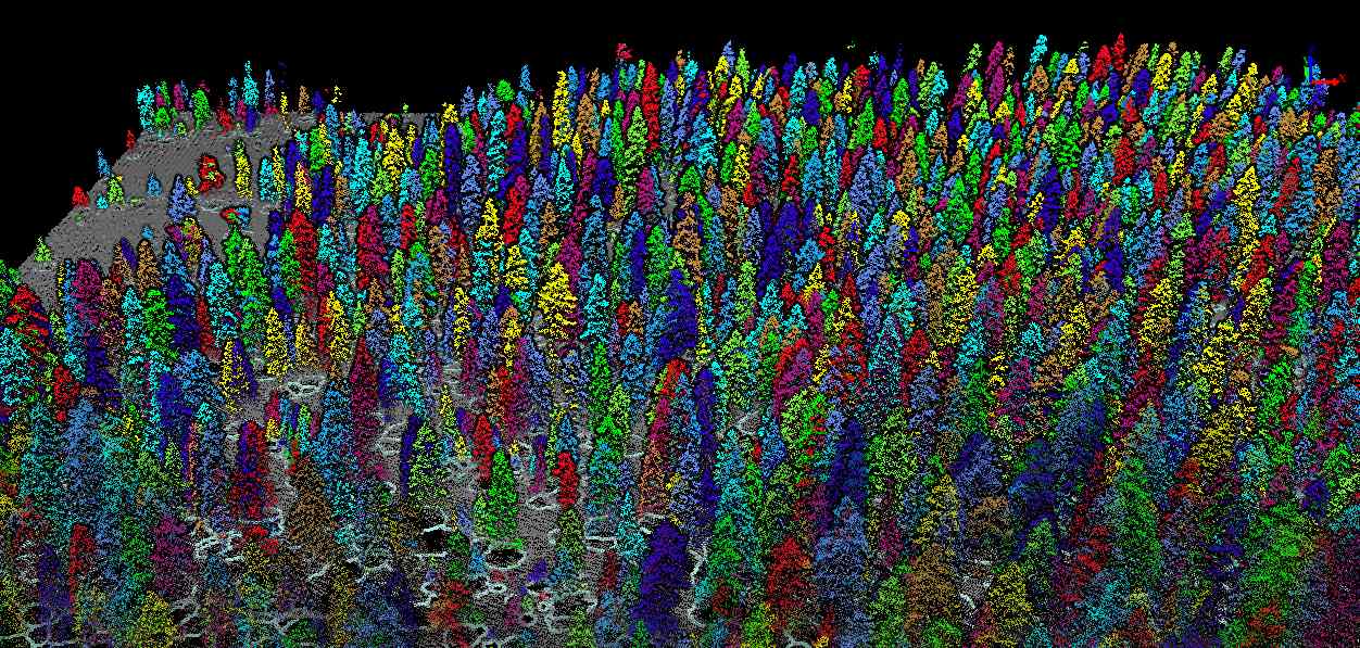
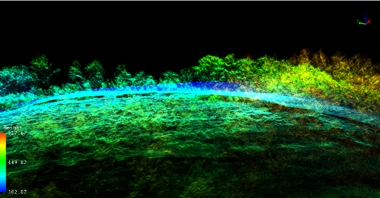
LiDAR360
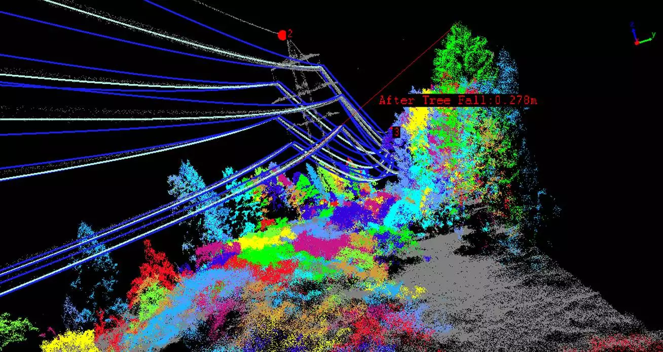
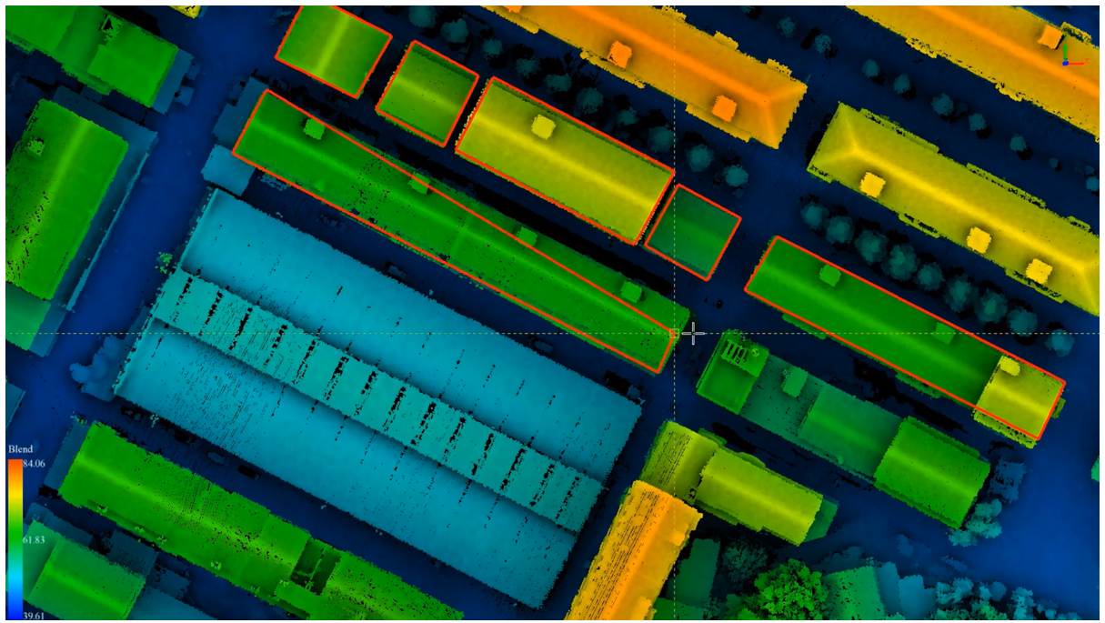
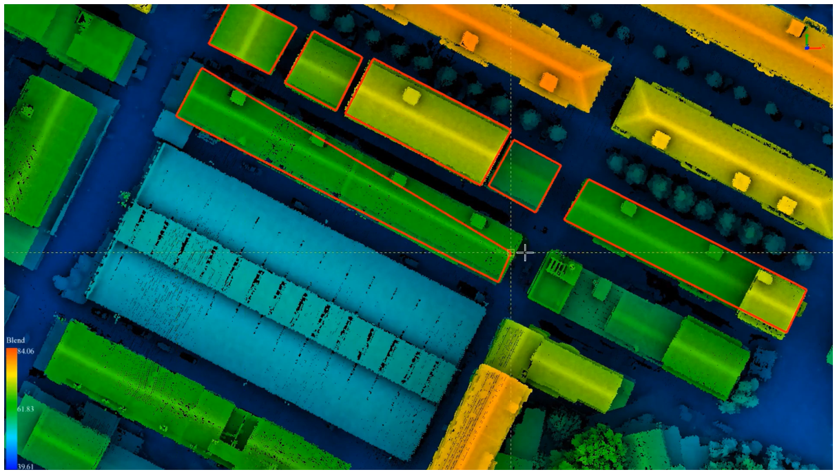
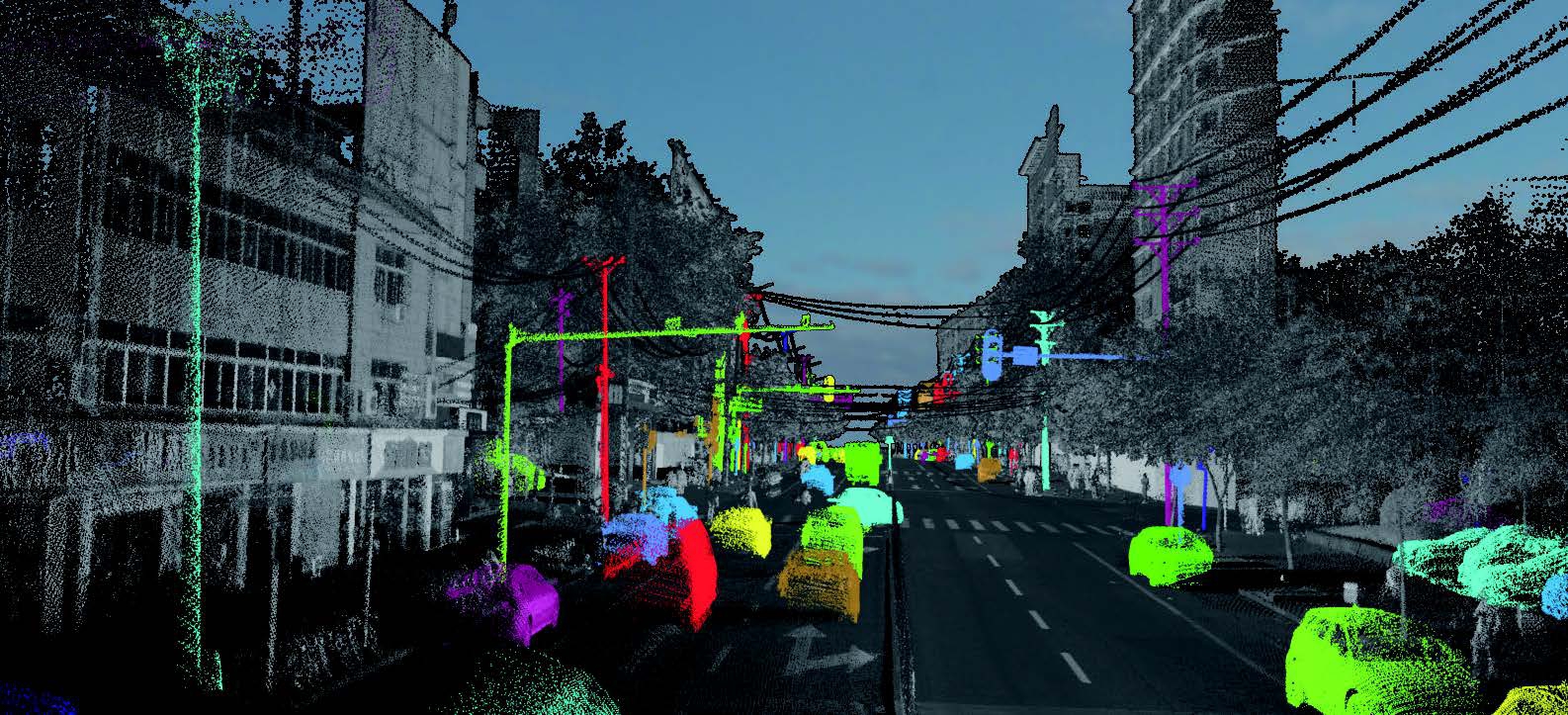
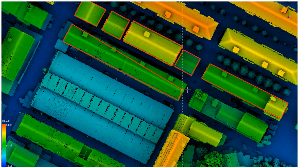
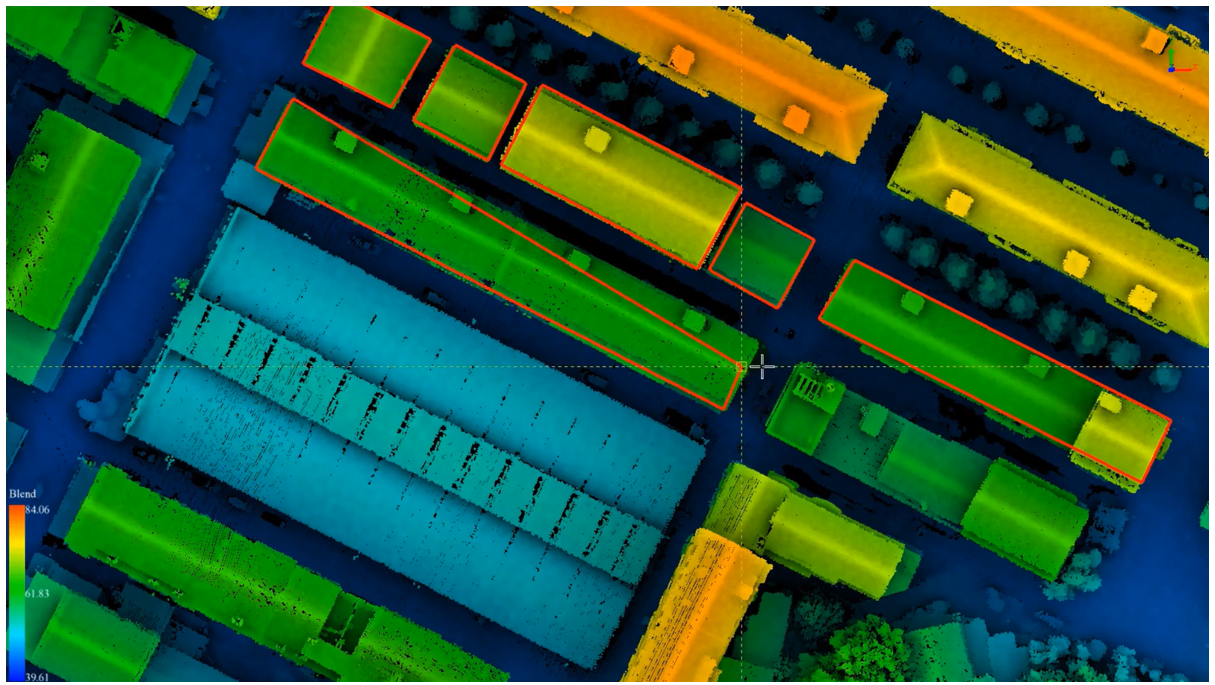
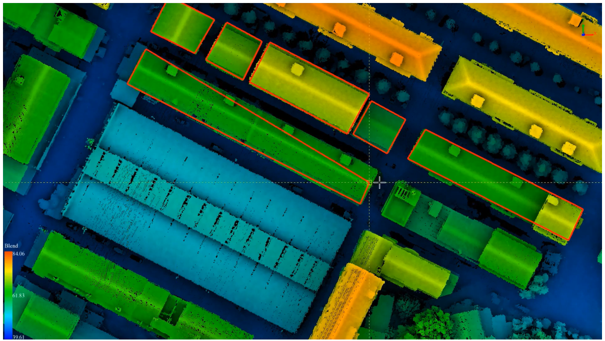
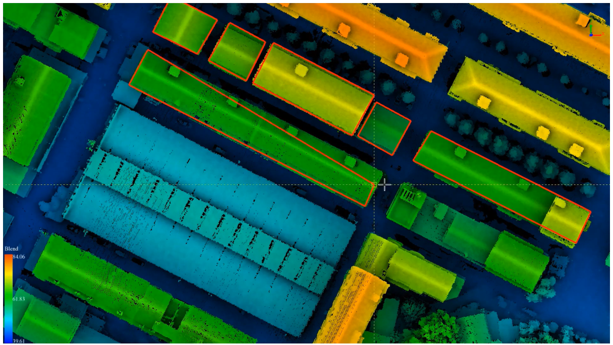
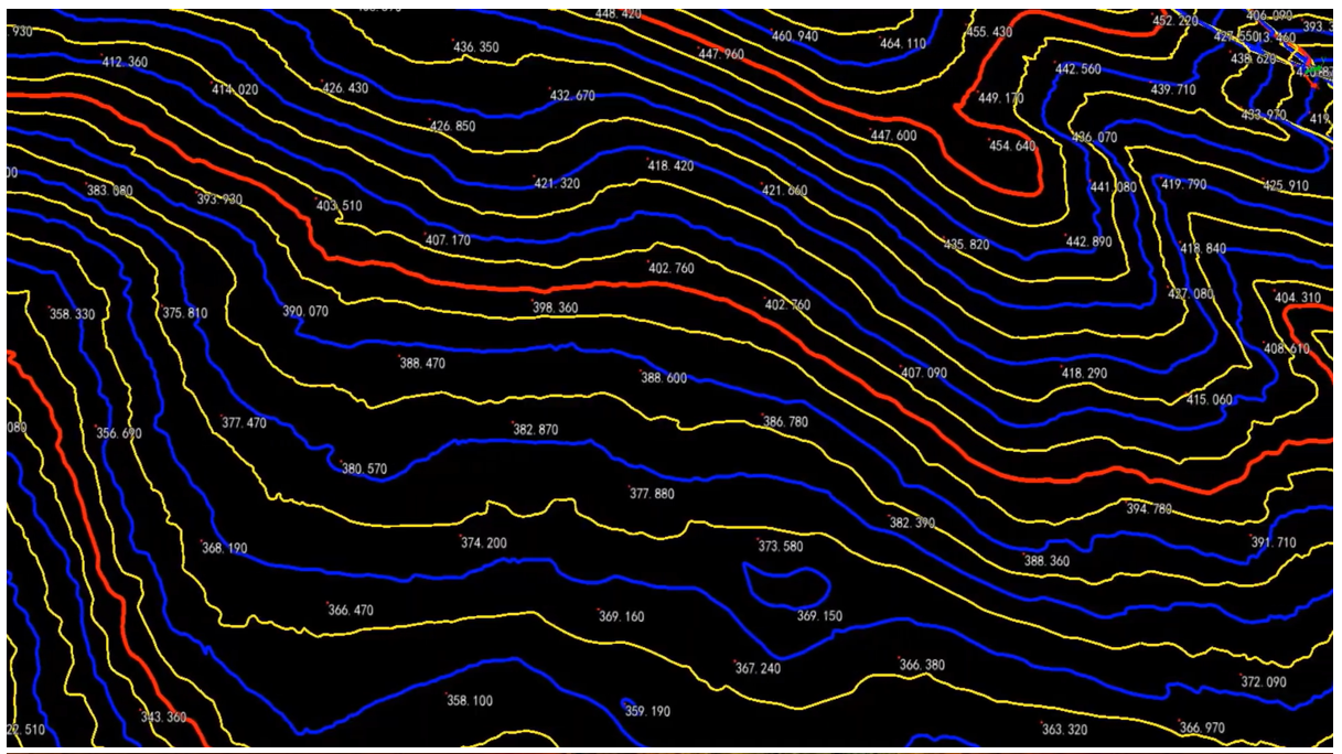
A very intuitive software for a large range of analysis tools. Included are classification tools for point clouds, including ingenious machine learning classification, and automatic ground point classificiation. Terrain outputs such as DEMs, DSMs, TINs and contours can be flexibly created. Point clouds can be normalized (flattened) and a large range of forest analyses can be undertaken such as tree segmentation.
