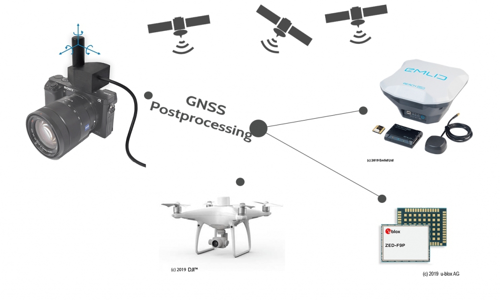
GNSS Postprocessing PPK and Geotagging Software
What is REDtoolbox software?
The software performs a multi-constellation (GPS, GLONASS, Beidou, Galileo) and multichannel (L1, L2, L5) GNSS postprocessing PPK of Base-Rover configurations. Such configurations can be found in many UAV / drone applications such as the Matrice 300 RTK and Phantom 4 RTK. The corrected GNSS path accuracy is at centimeter level, depending on the device use, the current satellite constellation and receipt quality.
Outputted as plain Text, as image EXIF data or in native Agisoft, Pix4d and Google Earth files, these information can be used many other fields of applications., eg. in photogrammetry and documentation.
When should you use REDtoolbox?
REDtoolbox is ideal, first, for acting as a back-up when a Network RTK service is not available, e.g. when cell service is poor, or when RTK connection is lost between the drone and base station during a flight, allowing you to achieve the accuracy you would with normal RTK corrections. REDtoolbox is also ideal for converting captured photos to a local coordinate system, by measuring the offset to GCPs measured locally. Most common photogrammetry software struggle to achieve this to a high accuracy level, especially for less common coordinate systems.
| Produkttyp: | Software |
|---|---|
| Softwarelizenz: | Unbegrenzt (Lebenslang) / Perpetual |
1x REDtoolbox perpetual full license + Lifetime Updates + Support
Anmelden


