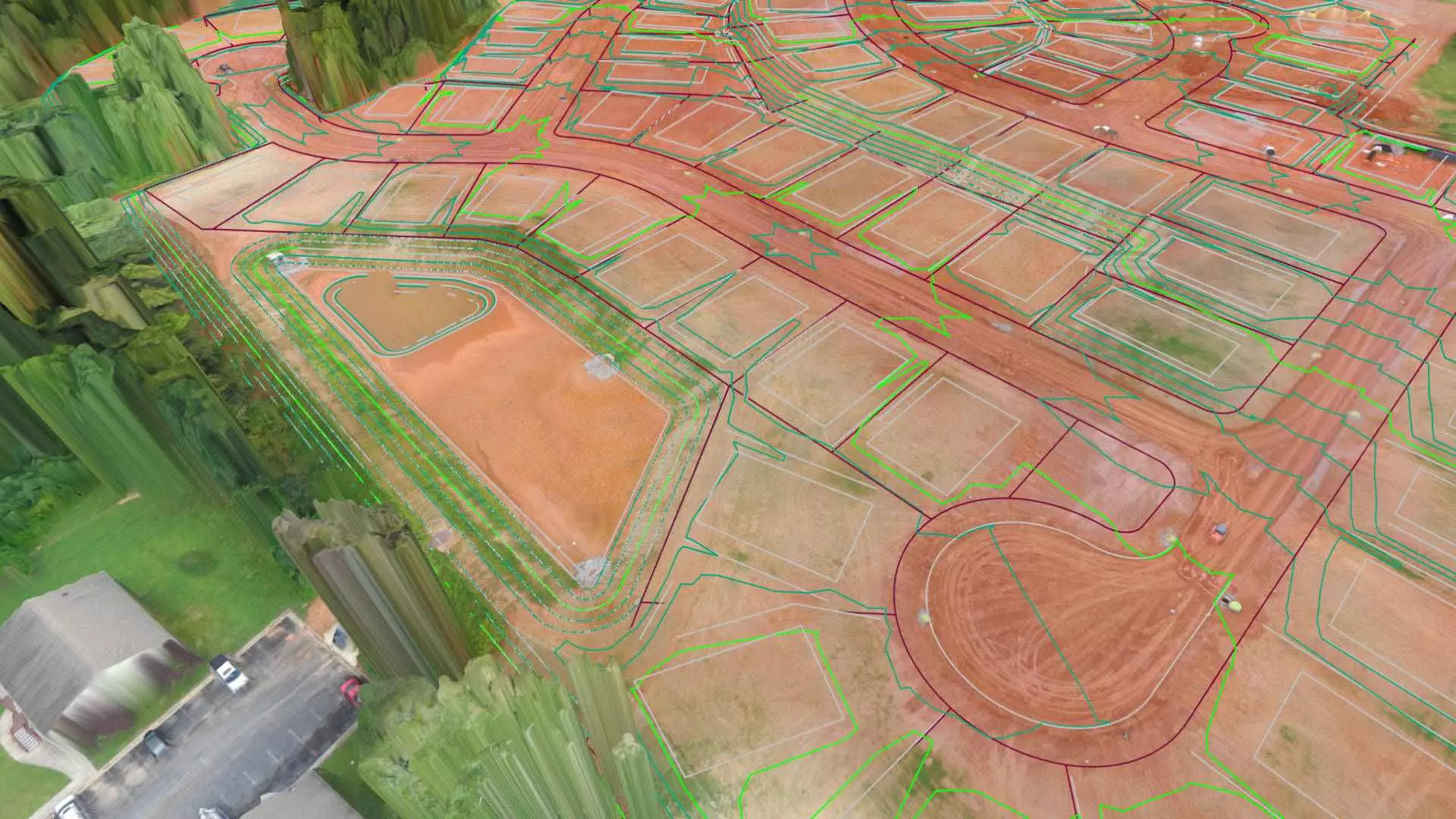
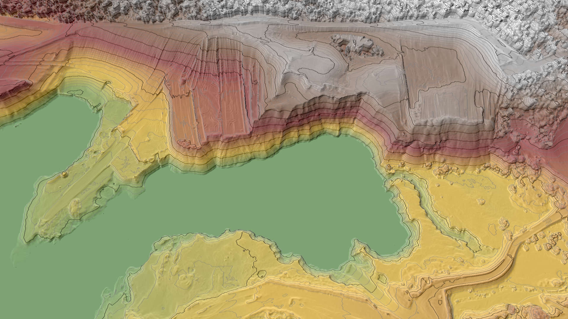
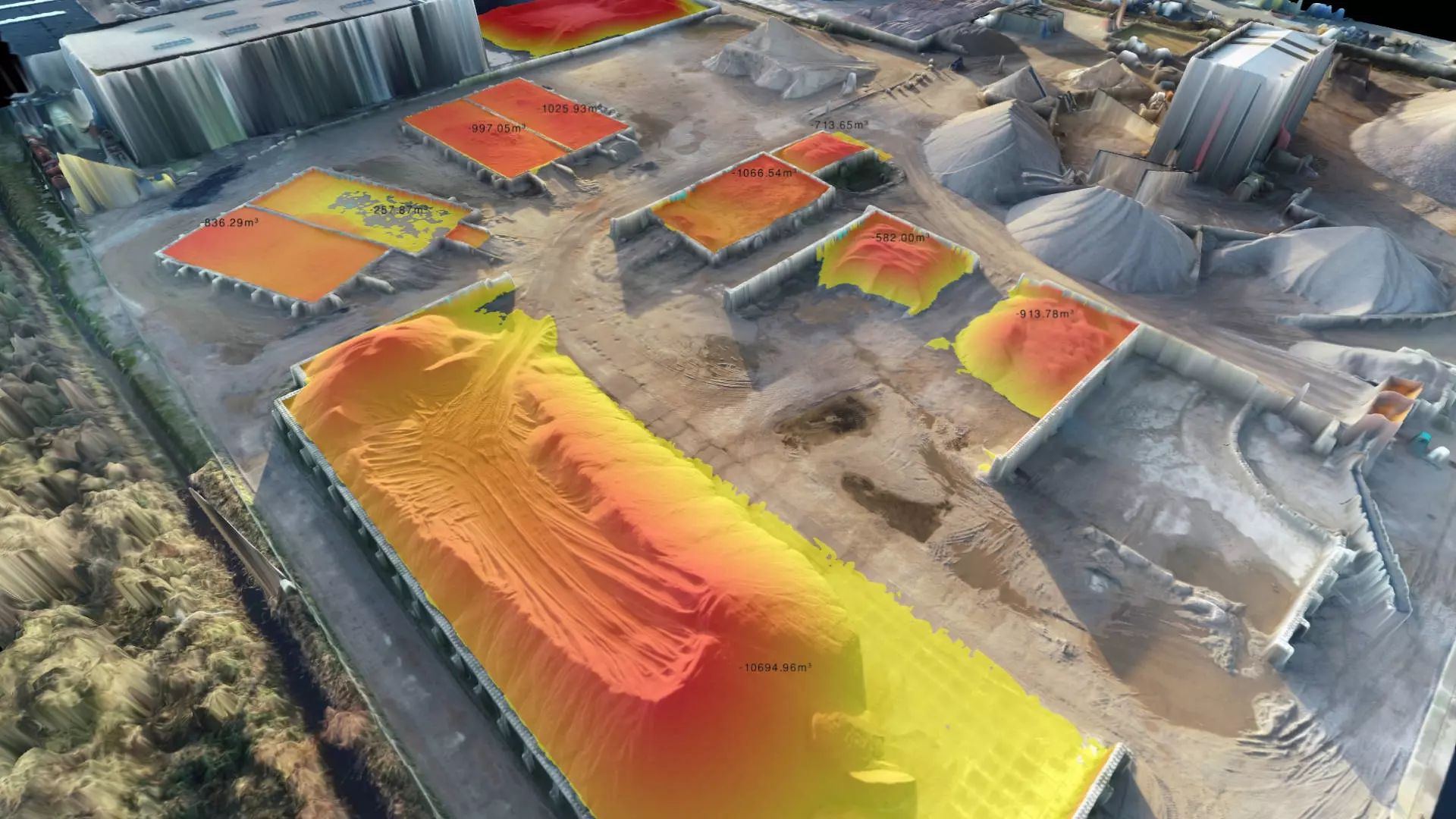
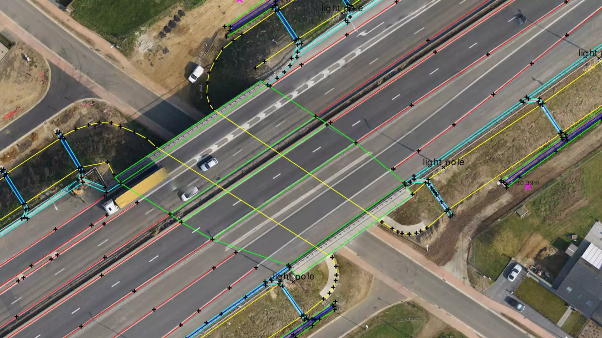
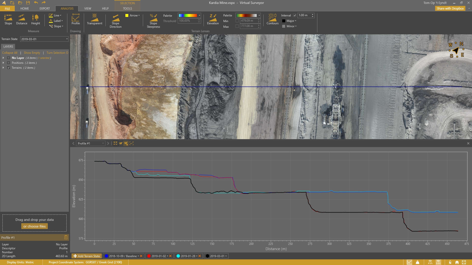
From drone to CAD in a few clicks. Virtual Surveyor provides surveyors with an intuitive desktop software application, enabling them to rapidly create traditional surveying deliverables when using drones.
Using drones represents a big difference in the type of data used traditionally by surveyors. Virtual Surveyor software packages incorporate traditional methods and deliverables to provide an intuitive experience for surveyors with little or no drone experience.
Virtual Surveyor works with point clouds, orthophotos and elevation models generated by drones to create deliverables traditionally created by surveyors.
Virtual Surveyor features:
Valley
- Import Orthos & DSMs
- Import CAD
- Convert Point Clouds
- Draw Points & Lines
- Mosaic Tools
- Export to CAD
Ridge
- All Valley Features
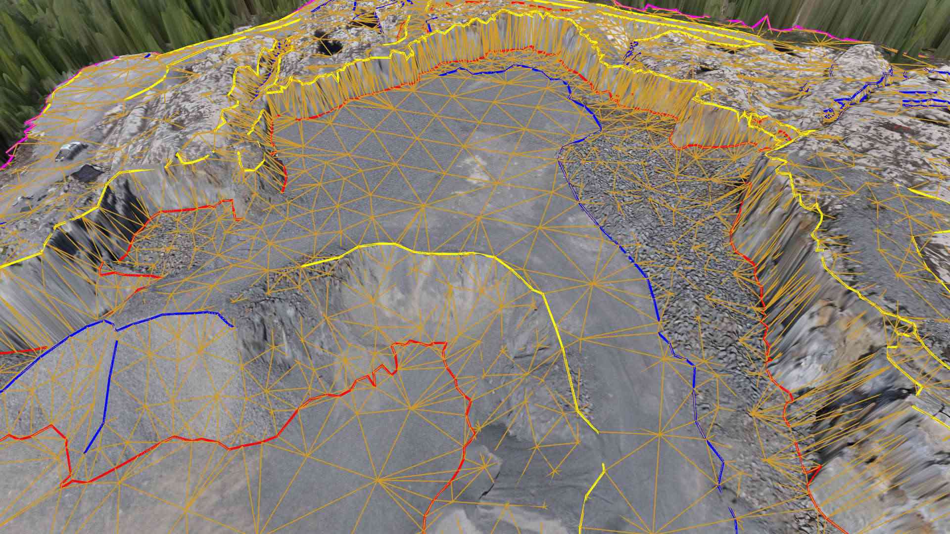
- Create Surfaces
- Regular Point Grids
- Advanced Editing
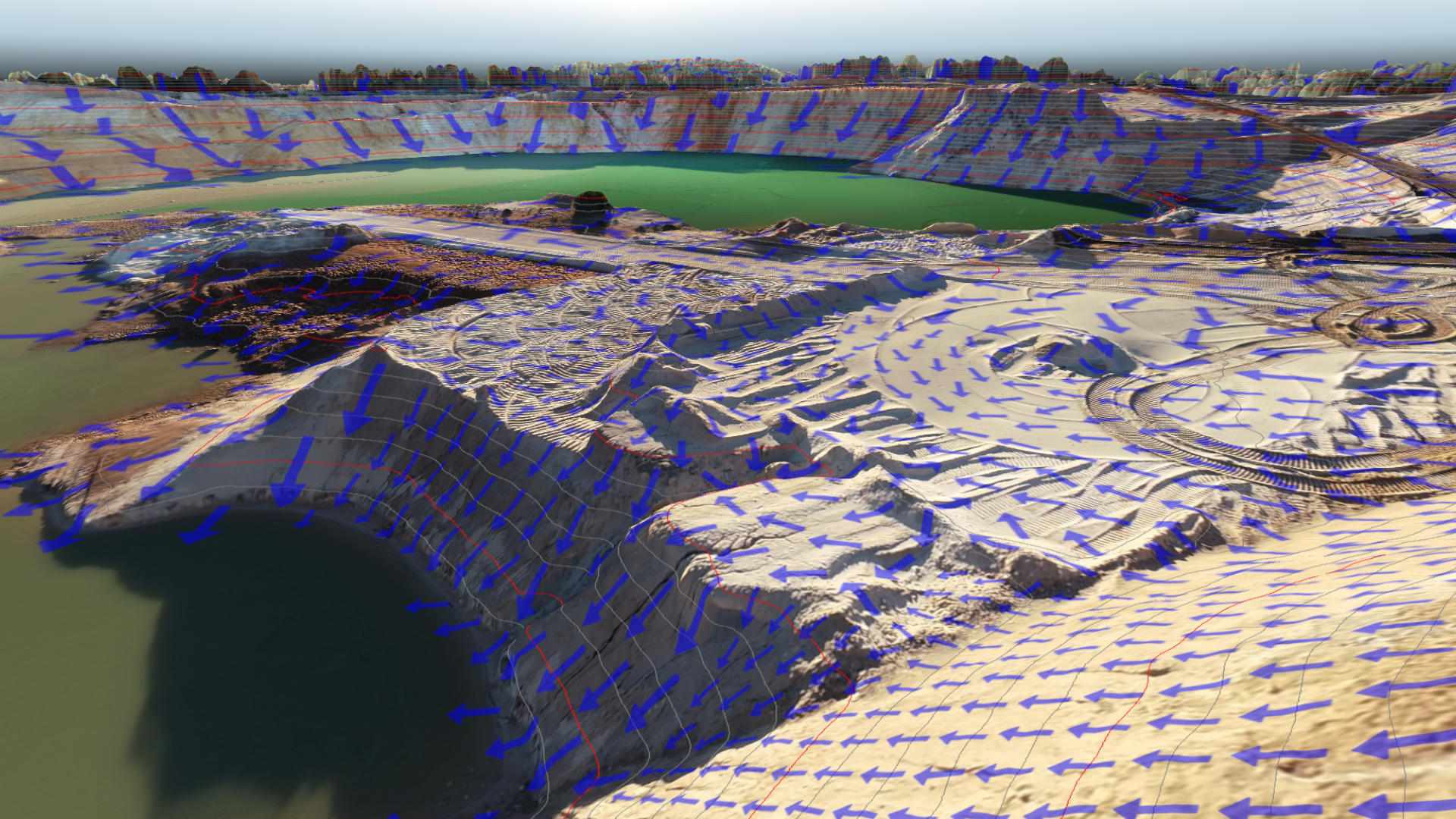
- Modify Terrain
- Stockpile Volumes
Peak
- All Ridge Features
- Terrain States
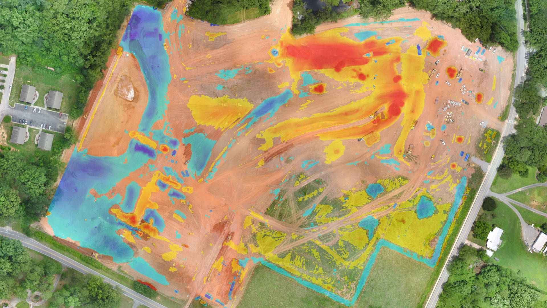
- Cut/Fill Maps
- Remove Objects
- Breakline Tools
- Intelligent Point Grids
| Produkttyp: | Software |
|---|---|
| Softwarelizenz: | 1 Monat / 1 Month |

1x Virtual Surveyor Peak 1 Month Subscription
Anmelden


